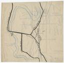
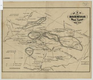
Wethersfield Plan
DraftsmanDrawn by
Roger Patton Welles
(American, 1901 - 1986)
After a work byAfter a work by
Sherman Wolcott Adams
(American, 1836 - 1898)
Dateabout 1961
MediumLithograph; blue printer's ink on wove paper; drawing; black ink and crayon on wove paper
DimensionsPrimary Dimensions (image height x width): 8 7/8 x 9 1/8in. (22.5 x 23.2cm)
Sheet (height x width): 8 7/8 x 9 1/8in. (22.5 x 23.2cm)
Sheet (height x width): 8 7/8 x 9 1/8in. (22.5 x 23.2cm)
ClassificationsGraphics
Credit LineGift of Roger Patton Welles
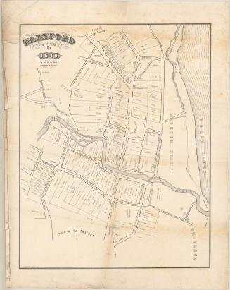
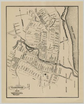
DescriptionOver a printed map of the town of Wethersfield, Connecticut, as it appeared around 1640, additions have been made by hand in black ink and blue crayon, mostly to fill in the western portion of the town. It extends from Hartford to the north, the Connecticut River to the east, Griswoldville to the south, and Stony Ridge to the west. The additions include roads, swamps, and landmarks personal to the maker, and many of them have dates ranging from the 1600s to the 1800s. On the back of the sheet is a hand-drawn map in black ink and blue crayon of the Connecticut River near Wethersfield and the roads around it.
Object number1961.104.1
NotesCartographic Note: No scaleOn View
Not on view
Silvermine Production
1973

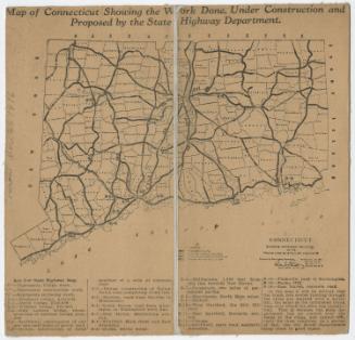
Connecticut State Highway Department
1916