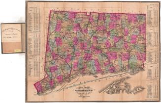
Southington
PublisherPublished by
Baker & Tilden
(founded 1869)
Date1869
MediumLithography; black printer's ink and watercolor on wove paper
DimensionsPrimary Dimensions (image height x width): 16 1/4 x 13 1/4in. (41.3 x 33.7cm)
Sheet (height x width): 16 3/8 x 13 3/8in. (41.6 x 34cm)
Sheet (height x width): 16 3/8 x 13 3/8in. (41.6 x 34cm)
ClassificationsGraphics
Credit LineGift of Allyn Seymour
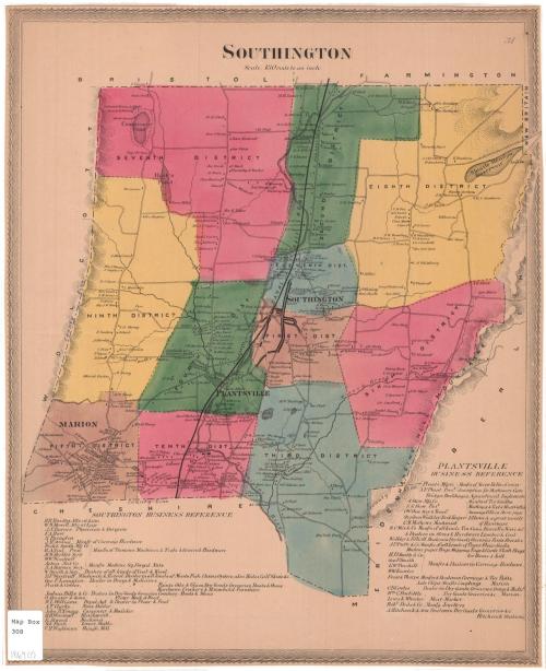
DescriptionMap of the town of Southington, Connecticut, with Bristol and Farmington to the north, Meriden and New Britain to the east, Cheshire and Meriden to the south, and Wolcott to the west. The town is divided into eleven numbered districts, which are colored and divided by broken solid lines. Roads are shown but are not labeled. Small black squares representing buildings line the roads and are labeled with the property owners' names. Natural features depicted include elevation, conveyed with hachure marks, the Quinnipiac River, Compounce Pond, Hart's Pond, Lake Pond, and Lily Pond. The Canal Railroad runs north-south through the town. At the bottom of the sheet are reference lists for Southington and Plantsville business areas.
Object number1979.100.1
NotesCartographic Note: Scale: 1 inch equals 180 rodsOn View
Not on view