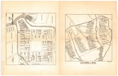
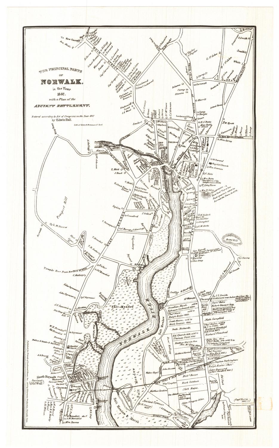
New Haven in 1641
DraftsmanDrawn by
Frederick R. Honey
(American, 1844 - 1929)
Date1880
MediumLithography; black printer's ink on wove paper
DimensionsPrimary Dimensions (New Haven map, image height x width): 8 x 8 3/8in. (20.3 x 21.3cm)
Primary Dimensions (Milford map, image height x width): 7 1/2 x 7 1/2in. (19.1 x 19.1cm)
Sheet (height x width): 18 3/4 x 12in. (47.6 x 30.5cm)
ClassificationsGraphics
Credit LineGift of Yale Univerity
Object number1912.5.0
DescriptionTwo maps on the same sheet of paper, one featuring the city center of New Haven, Connecticut, in 1641, and the other depicting Milford, Connecticut, in 1646. The focus of both maps is early property owners: on the New Haven map, the land lots are depicted, divided with solid black lines and labeled with the owner's name; on the Milford map, land lots are not shown but landholders' names are. Bodies of water are shown but not labeled.
Label TextJohn R. Brockett, one of New Haven's early settlers, is usually credited with laying out the nine squares that formed the original city. Brockett's original map showing New Haven in 1641 supposedly survived into the nineteenth century when a manuscript copy and facsimiles were made of it. This version of the plan was drawn in 1880 by Frederick R. Honey, an instructor in mechanical drawing and descriptive geometry at Yale's Sheffield Scientific School. It is paired with a map showing the early settlers of nearby Milford. The layout of the two maps suggests that they may have been intended as book illustrations.
NotesCartographic Note: No scaleStatus
Not on view
Silvermine Production
1973