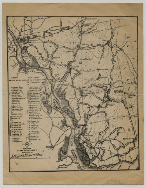
Map of Lyme and Vicinity
PrinterPrinted by
Unknown
DateProbably 1942
MediumLithography; black printer's ink on wove paper
DimensionsPrimary Dimensions (image height x width): 9 3/8 x 7 7/8in. (23.8 x 20cm)
Sheet (height x width): 11 x 8 1/2in. (27.9 x 21.6cm)
Sheet (height x width): 11 x 8 1/2in. (27.9 x 21.6cm)
ClassificationsGraphics
Credit LineConnecticut Museum of Culture and History collection
DescriptionMap of Lyme, Old Lyme and part of East Lyme, Connecticut, from the Middlesex County line to the north, East Lyme to the east, the Long Island Sound to the south, and the Connecticut River to the west. It shows report centers and first aid stations in Old Lyme and Lyme, as well as numbered corners that are listed to the left of the map. An unnamed railroad line -- most likely the New York and New Haven Railroad -- is shown at the bottom, running east-west through the town. Elevation is conveyed with contour lines. Selden Neck State Park is shown between the Connecticut River and Selden Creek.
Object number2006.127.0
NotesCartographic Note: Scale: About 3/4 inch equals 1 mileOn View
Not on view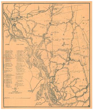

Object/Object