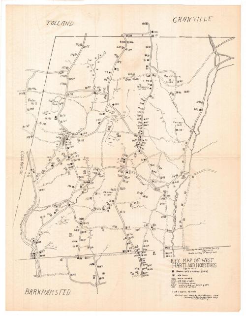
Key Map of West Hartland Homesteads
DraftsmanDrawn by
David F. Ransom
PublisherPublished by the
Hartland Historical Society
(American)
Date1954
MediumLithography; black printer's ink on wove paper
DimensionsPrimary Dimensions (image height x width): 22 1/8 x 17 1/8in. (56.2 x 43.5cm)
Sheet (height x width): 22 1/8 x 17 1/8in. (56.2 x 43.5cm)
ClassificationsGraphics
Credit LineConnecticut Museum of Culture and History collection
Object number1988.211.0
DescriptionMap of West Hartland, with Tolland and Granville to the north, Barkhamsted to the south, and Colebrook to the west, showing houses still standing as of 1954, as well as ruins. These are numbered on the map. Main roads, old main roads, secondary roads and wood roads or bridle paths are also depicted. Natural features include swampy areas and the east and west branches of the Farmington River.
Label TextLocated in the far northwest corner of Hartford County, West Hartland remains a small, rural community. It was settled relatively late and remains sparsely populated, with many eighteenth-century houses surviving to this day. Like many historical maps of Connecticut towns, it was published by the local historical society and reflects the strong interest of these groups in the early settlement of their towns during the mid-twentieth century.
NotesCartographic Note: Scale: 1 inch equals approximately 76 rodsConstituent Note: It's not clear that David F. Ransom drew this map. Stanley A. Ransom was president of the Hartland Historical Society in 1954. He was also an artist. He had a son, David E. Ransom, born in 1934. It seems likely this David Ransom drew the West Hartland map.
Status
Not on view

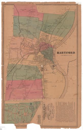
Connecticut State Highway Department
1923