Glastenbury
PublisherPublished by
Baker & Tilden
(founded 1869)
Date1869
MediumLithography; black printer's ink on wove paper
DimensionsPrimary Dimensions (image height x width): 10 7/8 x 15 7/8in. (27.6 x 40.3cm)
Sheet (height x width): 12 7/8 x 17in. (32.7 x 43.2cm)
Sheet (height x width): 12 7/8 x 17in. (32.7 x 43.2cm)
ClassificationsGraphics
Credit LineGift of the estate of Morgan B. Brainard
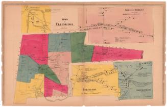
DescriptionMap of the town of Glastonbury, Connecticut, from the town lines of East Hartford and Manchester to the north, Marlborough and the Tolland County line to the east, Middlesex County to the south, and the Connecticut River to the west. It is divided into 18 numbered districts divided by broken solid lines. Roads are shown but are not labeled, and are lined with small black squares representing the locations of residences and businesses, labeled with the owner's name. Natural features depicted include elevation, conveyed through hachure marks, brooks, lakes and ponds.
Object number1963.96.1
NotesCartographic Note: Scale: 1 inch equals 200 rodsOn View
Not on view