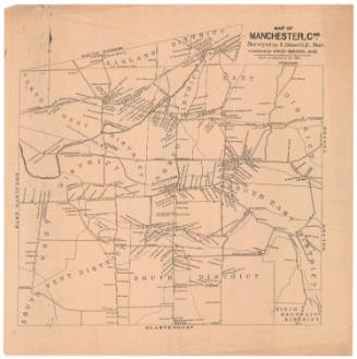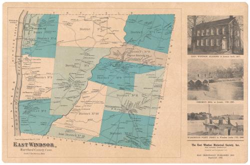
East Windsor, Hartford County, Connecticut
PublisherPublished by
East Windsor Historical Society
(American, founded 1965)
Date1966
MediumLithography; black and blue printer's inks on plastic-coated paper
DimensionsPrimary Dimensions (image height x width): 10 5/8 x 16 7/8in. (27 x 42.9cm)
Sheet (height x width): 11 1/2 x 17 1/2in. (29.2 x 44.5cm)
Sheet (height x width): 11 1/2 x 17 1/2in. (29.2 x 44.5cm)
ClassificationsGraphics
Credit LineConnecticut Museum of Culture and History collection
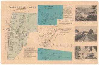
DescriptionPlacemat map of East Windsor, Connecticut, from the town line of Enfield to the north, Tolland County to the east, South Windsor to the south, and the Connecticut River to the west. It is divided into 12 numbered districts, marked with broken solid boundary lines. Local roads are shown but not labeled, and are lined with small black squares representing buildings, which are labeled with the owner's name. On the right are three images, the first of East Windsor Academy, the second of Osborn's Mill, and the third of Warehouse Point Ferry.
Object number1992.142.1
NotesCartographic Note: Scale: 2 inches equal 1 mileOn View
Not on view