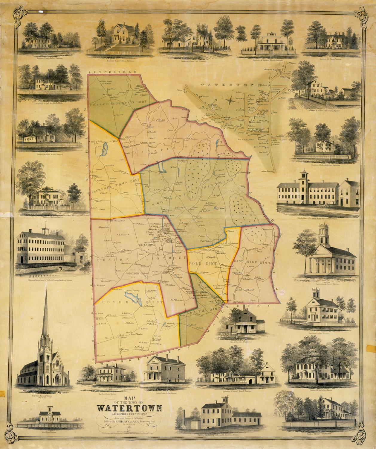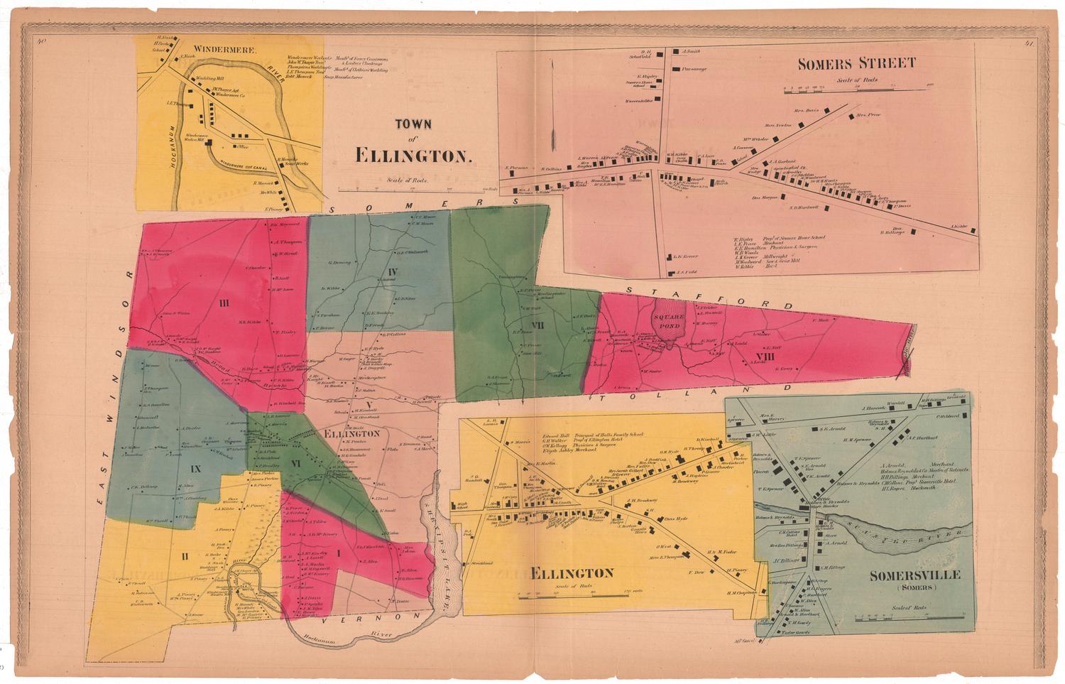
Town of Ellington
SurveyorSurveyed by
Ormando Willis Gray
(American, born 1829)
PrinterPrinted by
Kellogg & Bulkeley
(American, 1867 - 1990)
Date1869
MediumLithography; black printer's ink and watercolor on wove paper
DimensionsPrimary Dimensions (image height x width): 17 1/2 x 27 7/8in. (44.5 x 70.8cm)
Sheet (height x width): 18 1/4 x 28 3/8in. (46.4 x 72.1cm)
Sheet (height x width): 18 1/4 x 28 3/8in. (46.4 x 72.1cm)
ClassificationsGraphics
Credit LineConnecticut Museum of Culture and History collection
DescriptionSheet of maps of Ellington, Connecticut, the main one depicting the entire town, from the town lines of Somers and Stafford to the north, the Willimantic River to the east, Tolland and Vernon to the south, and East Windsor to the west. The town is divided into nine numbered sections, with local roads running through each of them. Buildings are depicted with black squares and are labeled with the property owner's name.
Above this map on the left is an inset map of Windermere, along the Hockanum River in the southern part of Ellington, and the mills and companies situated nearby. To the right is an inset map of Somers Street, lined with black rectangles representing buildings and labeled with the owner's name. Below are two side-by-side maps, one of Ellington and one of Somersville, both with local roads, buildings and property owner's names shown
Above this map on the left is an inset map of Windermere, along the Hockanum River in the southern part of Ellington, and the mills and companies situated nearby. To the right is an inset map of Somers Street, lined with black rectangles representing buildings and labeled with the owner's name. Below are two side-by-side maps, one of Ellington and one of Somersville, both with local roads, buildings and property owner's names shown
Object number2006.125.0
NotesCartographic Note: Scale: 1/2 inch equals 80 rods; Somers Street scale: 1 inch equals 25 rods; Ellington scale: 1 inch equals 40 rods; Somersville scale: 1 inch equals 25 rodsOn View
Not on view