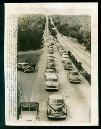
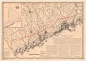
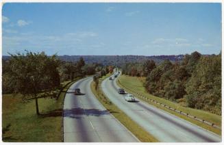
The Merritt Parkway with Adjacent Roads
PublisherPublished by
Bridgeport City Trust Company
(American)
Date1936
MediumLithography; black and red printer's ink on wove paper
Offset lithography; black printer's ink on wove paper
DimensionsPrimary Dimensions (image height x width): 15 1/8 x 21 3/4in. (38.4 x 55.2cm)
Sheet (height x width): 16 x 22 3/4in. (40.6 x 57.8cm)
ClassificationsGraphics
Credit LineGift of the Bridgeport City Trust Co.
Object number1936.31.0
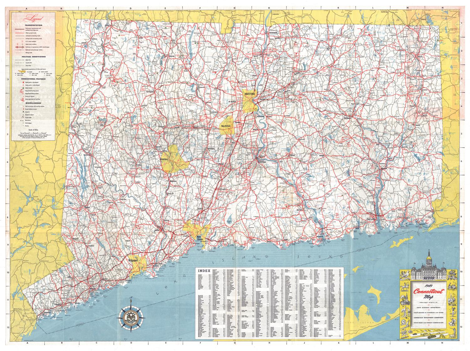
DescriptionMap of the Merritt Parkway as it runs through coastal Connecticut, from where it connects with the Hutchinson River Parkway in New York State to the Housatonic River. The Parkway is depicted as three red lines, with other roads, such as U.S. 1, denoted with thick black lines. The major roads are labeled. Smaller roads are shown with thin black lines and are unlabeled. Towns are divided with broken solid lines. Cities are denoted with crosshatching. The natural features along the Long Island Sound, such as islands and points, are labeled. In the top left corner is an inset map that shows the Merritt Parkway without any other roads. Below the maps is a history of the Merritt Parkway's design and a description of what improvements it would bring to the region.
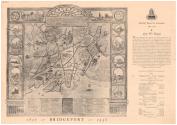
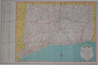
On the back of the map is a reproduction of a 1795 map of Bridgeport, Connecticut. To the right is the Bridgeport-City Trust Company's "Monthly Report to Customers" for May 1936, which includes a description of what Bridgeport was like in 1836. Below this is a "Condensed Statement of Condition," which outlines the bank's assets and liabilities.
On the back of the map is a reproduction of a 1795 map of Bridgeport, Connecticut. To the right is the Bridgeport-City Trust Company's "Monthly Report to Customers" for May 1936, which includes a description of what Bridgeport was like in 1836. Below this is a "Condensed Statement of Condition," which outlines the bank's assets and liabilities.
Label TextThe Merritt Parkway, which runs from the New York State line to the Housatonic River in Stratford, Connecticut was one of the first limited access highways, known for the beauty of the scenery through which it passes and the art deco design of its overpasses. Features that later became commonplace, such as exit and entrance ramps, and roadside rest areas with service stations and convenience stores, were innovations when the Parkway opened. Construction began in 1934 and was completed in 1940; the road was not yet finished when this map was issued by the Bridgeport City Trust Company. Businessmen in Bridgeport probably hoped that the Parkway would bring an influx of New Yorkers to their city, as well providing local residents traveling south and west with a scenic and convenient alternative to the Boston Post Road.
NotesCartographic Note: Scale: About 1 1/8 inches equals 2 milesStatus
Not on view
Natural Color Cards Co.