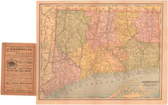
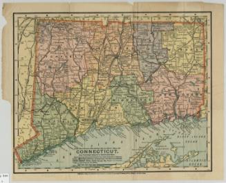
Connecticut
PublisherPublished by
George F. Cram & Co.
(American, 1869 - 2012)
Dateabout 1905
MediumLithography; colored printer's inks on wove paper
DimensionsPrimary Dimensions (image height x width): 13 1/2 x 18 1/2in. (34.3 x 47cm)
Sheet (height x width): 14 1/2 x 22 1/4in. (36.8 x 56.5cm)
Sheet (height x width): 14 1/2 x 22 1/4in. (36.8 x 56.5cm)
ClassificationsGraphics
Credit LineMuseum purchase
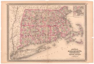
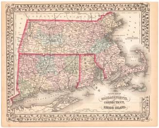
DescriptionMap of Connecticut with Massachusetts to the north, Rhode Island to the east, Long Island Sound and a portion of eastern Long Island to the south, and New York to the west. Counties, cities, towns, and smaller communities are shown. Major rivers, streams, lakes, ponds, hills, and mountains are identified. Elevation is indicated by hachure marks. Islands and lighthouses are shown. Railroad routes are prominently featured and railroad stations are clearly indicated, but no roads or highways are shown. On the verso are a key to the locations of Connecticut towns and counties, with population statistics, and a map of Rhode Island.
Object number1979.96.1
NotesCartographic Note: Approximately 13/16 inches equals 5 miles
Date Note: The population of Connecticut is listed as 908.420. This was the population of the state in 1900, according to the Federal Census.On View
Not on view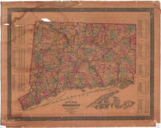
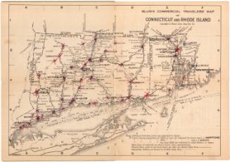
Blum's Commercial Map Publishing Company
1927-1928