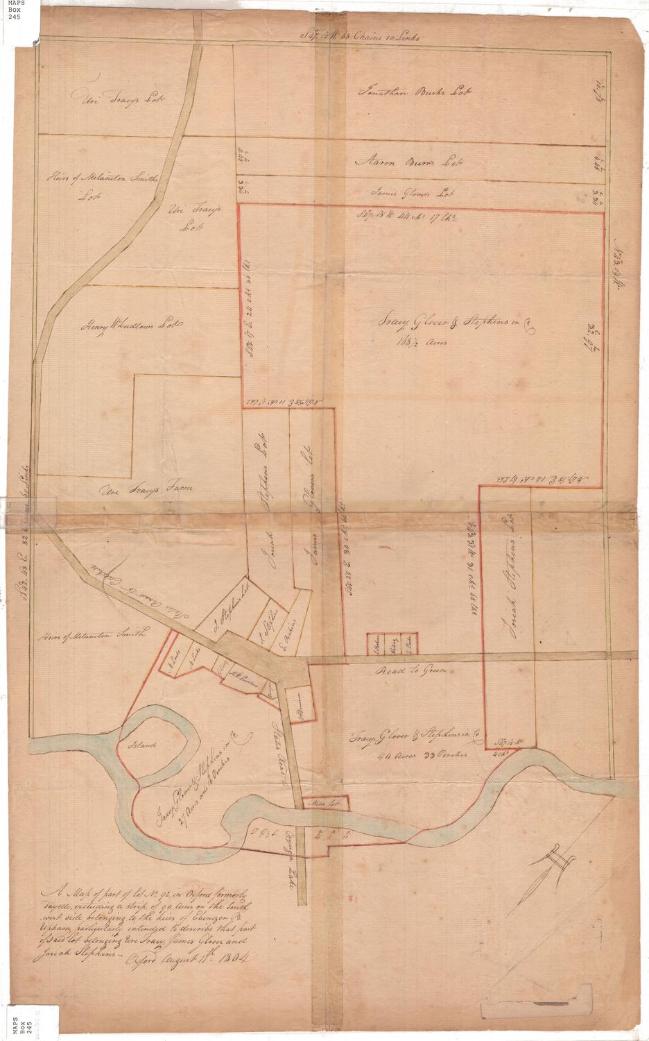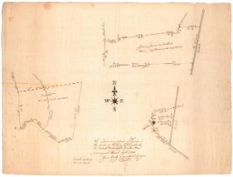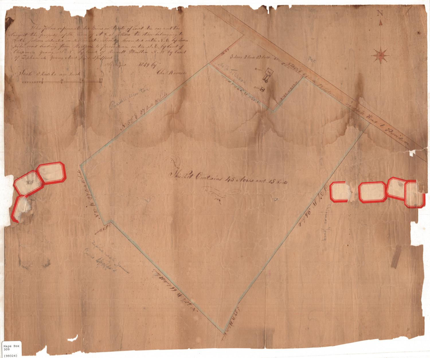
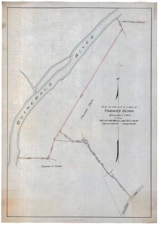
This plan represents two pieces or tracts of land viz one and the largest the property of A. & S. Jillson, the other belonging to Seth Jillson situated in Willimantic...
SurveyorSurveyed by
Charles Warner
(American, active 1849)
Date1849
MediumDrawing; black ink and blue watercolor on wove paper
DimensionsPrimary Dimensions (image height x width): 17 7/8 x 21 3/4in. (45.4 x 55.2cm)
Sheet (height x width): 17 7/8 x 21 3/4in. (45.4 x 55.2cm)
Sheet (height x width): 17 7/8 x 21 3/4in. (45.4 x 55.2cm)
ClassificationsGraphics
Credit LineConnecticut Museum of Culture and History collection
DescriptionManuscript map of two plots of land in Willimantic, Connecticut. Both pieces of land abut the turnpike road to Providence. Georgraphic coordinates and measurements in rods and links are provided for each of the property lines. In the smaller plot of land, a house and barn are shown.
Object number2006.119.0
NotesCartographic Note: Scale: 1 inch equals 2 rodsOn View
Not on view
Erastus Worthington
1907