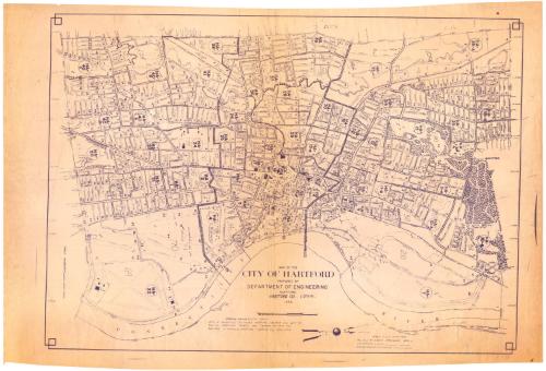
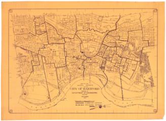
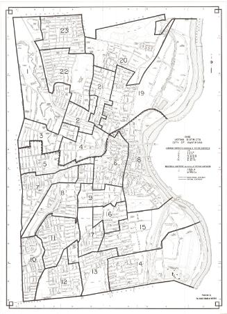
Map of the City of Hartford
MakerPrepared by
Engineering Department (Hartford, Conn.)
(American, founded 1907)
Date1956
MediumCyanotype; blueprint on wove paper
DimensionsPrimary Dimensions (image height x width): 26 1/2 x 37 1/4in. (67.3 x 94.6cm)
Sheet (height x width): 28 1/2 x 42 1/2in. (72.4 x 108cm)
ClassificationsGraphics
Credit LineConnecticut Museum of Culture and History collection
Object number2012.312.265
DescriptionMap of the city of Hartford with West Hartford to the west, Bloomfield and Windsor to the north, the Connecticut River to the east, and Wethersfield to the south. Streets, highways, rivers, ponds, and parks are shown. Small circles indicate trees. Brainard Field and the Metropolitan Distict Sewage Treatment Plant are at lower left. The city is divided into enumeration districts and the districts are numbered. Some numbers are crossed out. Numbers HA-1 to HA-40D are in circles. A scale of miles and a compass pointing to true north and magnetic north are at lower center. The map is oriented with north at the right.
Label TextAn enumeration district is the area assigned to an individual census taker. Communal establishments with the capacity to house more than 100 people are defined as special enumeration district. This map of Hartford, showing the city's enumeration districts was evidently created in preparation for the taking of the 1960 Federal Census.
NotesCartographic Note: 1 1/8 inches equals 1000 feetStatus
Not on view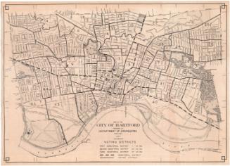


Kellogg & Bulkeley
1915-1920

Kellogg & Bulkeley
1910-1915