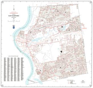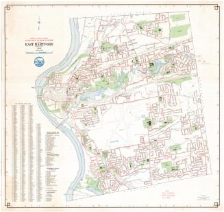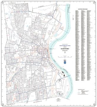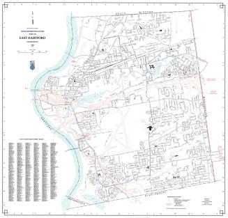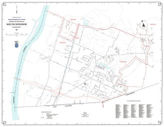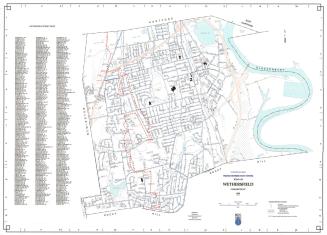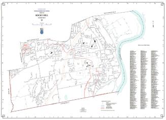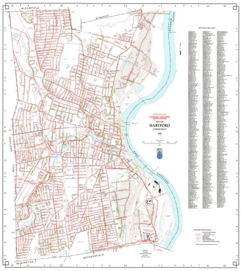
City of Hartford. Connecticut Sanitary and Storm Sewer System
MakerPrepared by
Metropolitan District Commission
(American, founded 1929)
Date1998
MediumLithography; black and colored printer's inks on wove paper
DimensionsPrimary Dimensions (image height x width): 32 x 29in. (81.3 x 73.7cm)
Sheet (height x width): 32 3/4 x 29 3/4in. (83.2 x 75.6cm)
ClassificationsGraphics
Credit LineConnecticut Museum of Culture and History collection
Object number2012.312.259
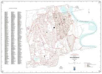
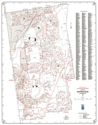
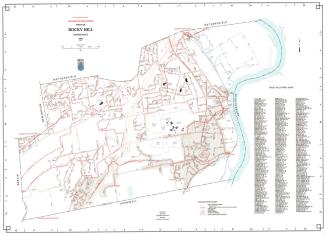
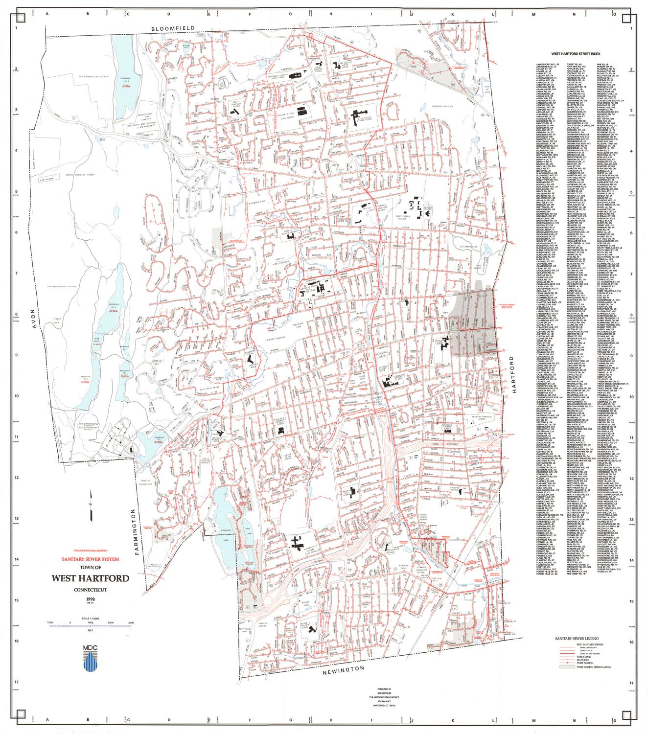
DescriptionMap of the city of Hartford with Bloomfield to the north, the Connecticut River to the east, Wethersfield and Newington to the south, and West Hartford to the west. Streets, interstate highways, highway interchanges, railroads, streams, and ponds are indicated. Sewer lines are shown in red. Storm sewers are shown in green. The underground course of the Park River is indicated by a blue double dotted line. A Sanitary Sewer Legend at lower right provides a key to sewers six to twenty-three inches in diameter, sewers twenty-four inches or larger in diameter, force mains, manholes, pump stations, and pump station service areas. The Water Pollution Control Facility is prominently shown at lower right.
Label TextThe Metropolitan District Commission had begun using the computer mapping technology known as GIS (for Geographic Information System) as early as 1988. This 1998 computer-generated map shows just how sophisticated the new technology had become in just ten years. At the same time, the MDC began promoting the use of interactive electronic maps, permitting the eight towns that were members in the district to connect to their central database. Increasing amounts of information were also being made available online, where they could be accessed by residents of the member towns and by the general public. GIS has transformed the way that even ordinary people use maps; it has also greatly increased public awareness of maps and their overall usefulness.
NotesCartographic Note: 1 inch equals 1000 feetStatus
Not on view