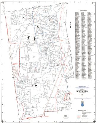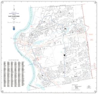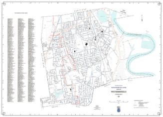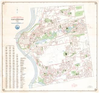
Town of Bloomfield Water Distribution System
MakerPrepared by
Metropolitan District Commission
(American, founded 1929)
Date1998
MediumLithography; black and colored printer's inks on wove paper
DimensionsPrimary Dimensions (image height x width): 38 1/2 x 34 1/4in. (97.8 x 87cm)
Sheet (height x width): 42 3/4 x 35in. (108.6 x 88.9cm)
Sheet (height x width): 42 3/4 x 35in. (108.6 x 88.9cm)
ClassificationsGraphics
Credit LineConnecticut Museum of Culture and History collection
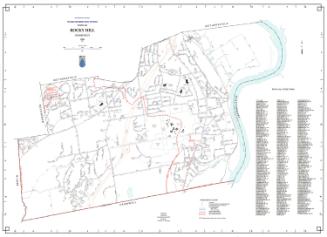
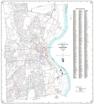
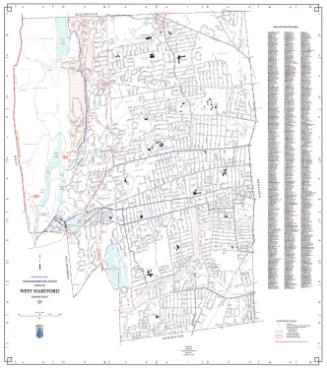
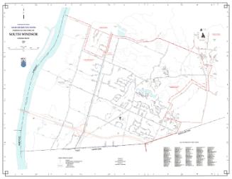
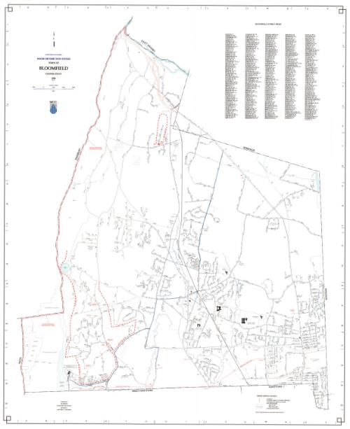
DescriptionMap of the town of Bloomfield with East Granby and Windsor to the north, Windsor to the east, Hartford and West Hartford to the south, and Simsbury and Avon to the west. Streets, streams, schools, cemeteries, and an industrial park are shown. Other prominent features include Penwood State Forest, Talcott Mountain, and the Metropolitan District Water Treatment Plant at Reservoir 6. Water mains are shown in blue. A Water Service Legend at lower right provides a key to hydrants, hydrants subject fo pumped pressure, gate valves (sixteen inch main or larger), MDC water mains (less than six inches in diameter, six to twenty-three inches in diameter, and twenty-four inches or larger in diameter), and private water mains. Hydrants located on private water mains are not shown. The west boundary of the Metropolitan District is indcated at the left. An index of Bloomfield streets is at upper right.
Object number2012.312.258
NotesCartographic Note:1 inch equals 1000 feetOn View
Not on view