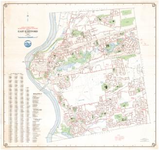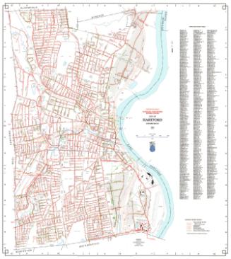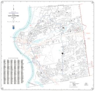
Town of East Hartford Sanitary Sewer System
MakerPrepared by
Metropolitan District Commission
(American, founded 1929)
Date1998
MediumLithography; black and colored printer's inks on wove paper
DimensionsPrimary Dimensions (image height x width): 30 1/2 x 32in. (77.5 x 81.3cm)
Sheet (height x width): 31 1/8 x 32 1/2in. (79.1 x 82.6cm)
ClassificationsGraphics
Credit LineConnecticut Museum of Culture and History collection
Object number2012.312.255
DescriptionMap of the town of East Hartford, Connecticut with South Windsor to the north, Manchester to the east, Glastonbury and Wethersfield to the south, and the Connecticut River to the west. Streets, railroads, streams, and ponds are shown with sewer lines indicated in red. Renstchler Field (airport) and the Metropolitan District Commission Water Pollution Control Facility are prominently shown. A Sanitary Sewer Legend at lower right provides a key to sewers six to twenty-three inches in diameter, sewers twenty-four inches or large in diameter, force mains, manholes, pump stations, and pump station service areas. A key to East Hartford streets is at lower left. A compass is at upper left.
Label TextEast Hartford was the first town east of the Connecticut River to join the Metropolitan District Commission. It did so in 1941, just before the outbreak of World War II, a period during which the town was experiencing extraordinary growth due to the presence if Pratt & Whitney Aircraft, one of the largest defense industries in the nation. By the early 1950s, East Hartford had its own pollution control plant, located on Pitkin Street. The plant was designed to treat "dirty" water from the sewage system and discharge it into the Hockanum River, near its mouth at the Connecticut River.
NotesCartographic Note: 1 inch equals 1000 feetStatus
Not on view