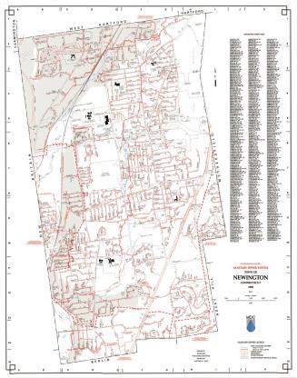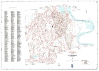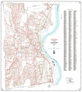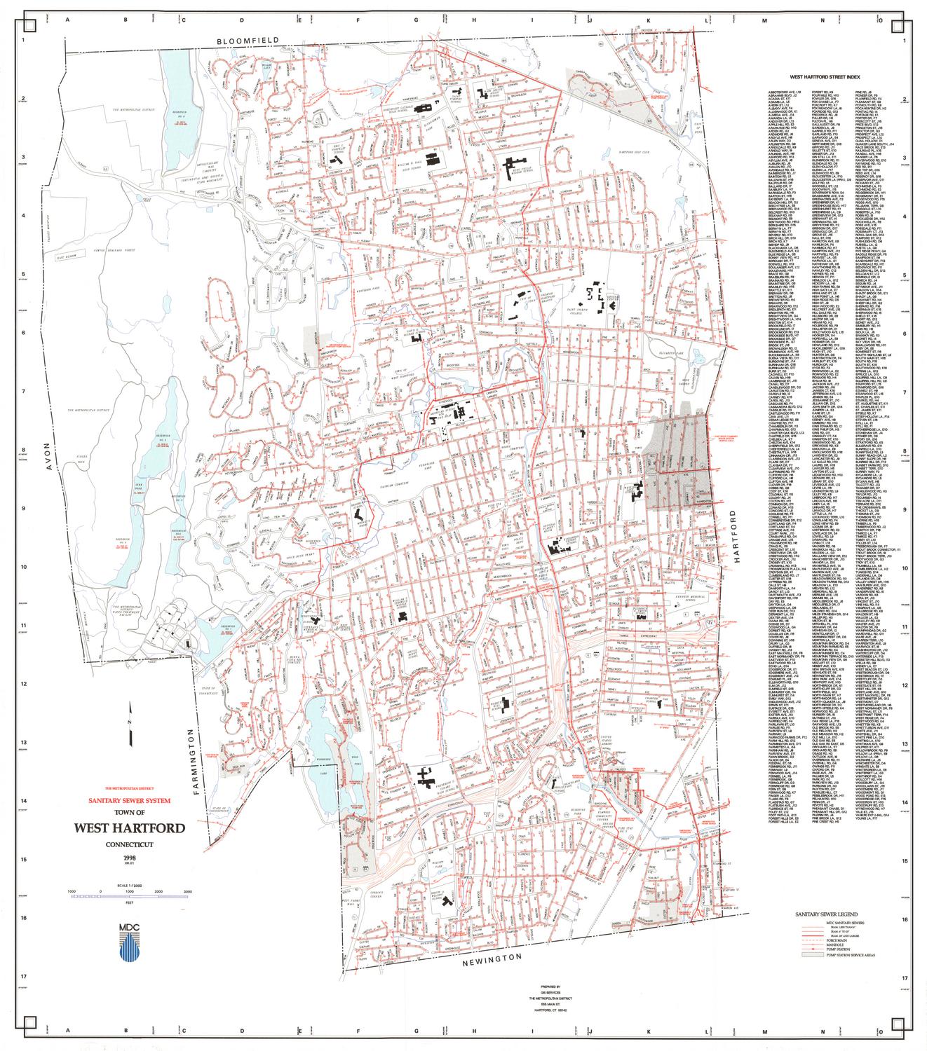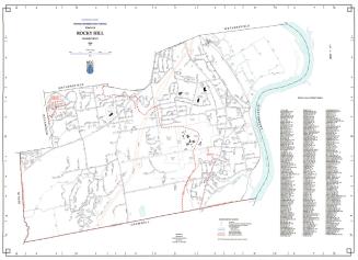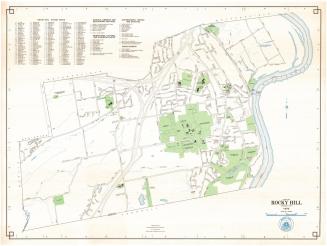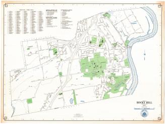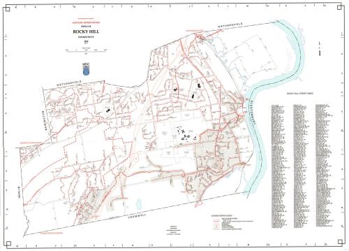
Town of Rocky Hill Sanitary Sewer System
MakerPrepared by
Metropolitan District Commission
(American, founded 1929)
Date1998
MediumLithography; black and colored printer's inks on wove paper
DimensionsPrimary Dimensions (image height x width): 25 1/2 x 35 1/2in. (64.8 x 90.2cm)
Sheet (height x width): 26 1/8 x 36 1/4in. (66.4 x 92.1cm)
ClassificationsGraphics
Credit LineConnecticut Museum of Culture and History collection
Object number2012.312.253
DescriptionMap of the town of Rocky Hill, Connecticut, with Wethersfield to the north, the Connecticut River and Glastonbury to the east, Cromwell to the south, and Berlin and Newington to the west. Sewer lines are indicated in red. The Metropolitan District Commission Water Pollution Control Facility is in the northeast part of town. Some sewers to the west and south are tributary to the Mattabessett District Water Pollution Control Facility. The Vexation Hill Water Storage Tank is in the northwest part of town. Other prominent features include Dinosaur State Park, Rose Hill Memorial Park, and the Veterans Hospital. Streets, railroads, streams, and ponds are shown. A Sanitary Sewer Legend at lower right provides a key to sewers six to twenty-three inches in diameter, sewers twenty-four inches or large in diameter, force mains, manholes, pump stations, and pump station service areas. An index of Rocky Hill streets is at the right.
Label TextRocky Hill was not part of the orignal area served by the MDC, but voted to join in the 1943. The Rocky Hill Water Pollution Control Facility, which appears on this map, was completed in 1958 for the treatment of raw sewage. Although the facility handles most of the sewage in Rocky Hill and a nieghboring portion of Wethersfield, some areas in the town are served by the Mattabessett District Water Pollution Control Facility, located in Cromwell.
NotesCartographic Note: 1 inch equals 1000 feetStatus
Not on view