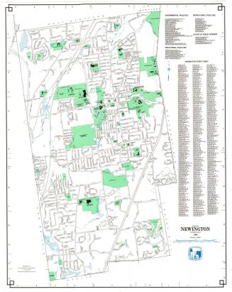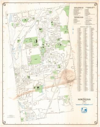
Town of Newington, Connecticut
MakerPrepared by the
Metropolitan District Commission
(American, founded 1929)
Date1995
MediumLithography; black and colored printer's inks on wove paper
DimensionsPrimary Dimensions (image height x width): 29 3/4 x 23 1/4in. (75.6 x 59.1cm)
Sheet (height x width): 30 1/4 x 23 5/8in. (76.8 x 60cm)
ClassificationsGraphics
Credit LineConnecticut Museum of Culture and History collection
Object number2012.312.246
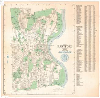
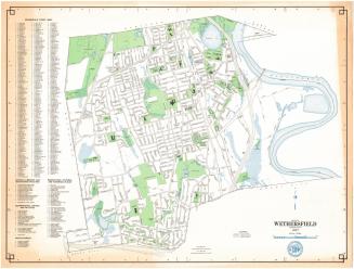
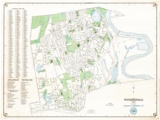
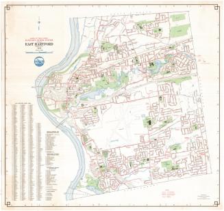
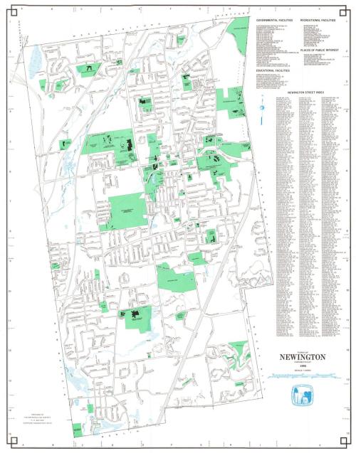
DescriptionMap of the town of Newington with West Hartford and Hartford to the north, Wethersfield and Rocky Hill to the east, Berlin to the south, and New Britain and Farmington to the west. An indexed key at the right locates Governmental Facilities, Educational Facilities, Recreational Facilities, Places of Interest, and includes a street index. A compass is at upper right.
Label TextThe town of Newington consists of mainly residential areas and serves as a classic bedroom suburb for nearby Hartford. In 1995 the State Highway Commission was considering improvements the Berlin Turnpike, which slices through the town. Originally the main road from Hartford to New Haven, by 1995 the Berlin Turnpike had been largely superceded by the interstates and was known for its restaurants, motels, and strip malls..Newington was also the site of the Newington Children's Hospital and a United States Veterans Hospital. In 1996, patients from the Newington Children's Hospital would be transferred to the newly completed Connecticut Children's Medical Center in Hartford. The veterans hospital continued to serve as a cornerstone for veterans healthcare in Connecticut into the twenty-first century.
NotesCartographic Note: 3 inches equals 3000 feetStatus
Not on view