Town of Bloomfield, Connecticut
MakerPrepared by
Metropolitan District Commission
(American, founded 1929)
Date1995
MediumLithography; black and colored printer's inks on wove paper
DimensionsPrimary Dimensions (image height x width): 40 1/4 x 32 5/8in. (102.2 x 82.9cm)
Sheet (height x width): 40 3/4 x 32 7/8in. (103.5 x 83.5cm)
ClassificationsGraphics
Credit LineConnecticut Museum of Culture and History collection
Object number2012.312.243
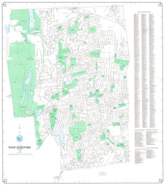
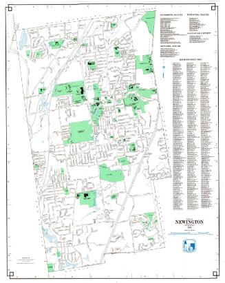
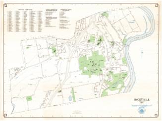
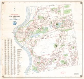
DescriptionMap of the town of Bloomfield with East Granby and Windsor to the north, Windsor to the east, Hartford and West Hartford to the south, and Simsbury and Avon to the west. Street, streams, schools, cemeteries, and an industrial park are shown. Other prominent features include Penwood State Forest, Talcott Mountain, the Talcott Mountain Tunnel, and the Metropolitan District Water Treatment Plant at Reservoir 6. Flood control facilities include the Cold Spring Flood Water Retention Reservoir, the Tunxis Flood Water Retention Reservoir, the Wintonbury Flood Water Retention Reservoir, and the Blue Hills Flood Water Retention Reservoir, and associated retarding dams and protective dikes. An indexed key at the right locates Governmental Facilities, Educational Facilities, Recreational Facilities, Places of Interest, and includes a street index. A compass is at upper right.
Label TextThanks in part to the Metropolitan District reservoir and flood control systems in the town, Bloomfield boasts a remarkable amount of open space. The large green areas of Reservoir 6, Talcott Mountain State Park, Penwood State Park, and four large water retention reservoirs figure prominently on this map. Retention reservoirs are intended to hold excessive amounts of water during times of flooding; under normal circumstances they don't have water in them. Other open space in town includes Talcott Mountain State Park, Penwood State Park, and Marion E. Wilcox Park. Altogether, approximately twenty per cent of the town is shown as open space.
NotesCartographic Note: 1 inch equals 1000 feetStatus
Not on view