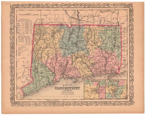
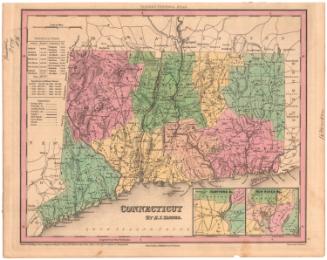
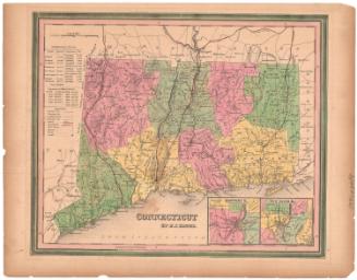
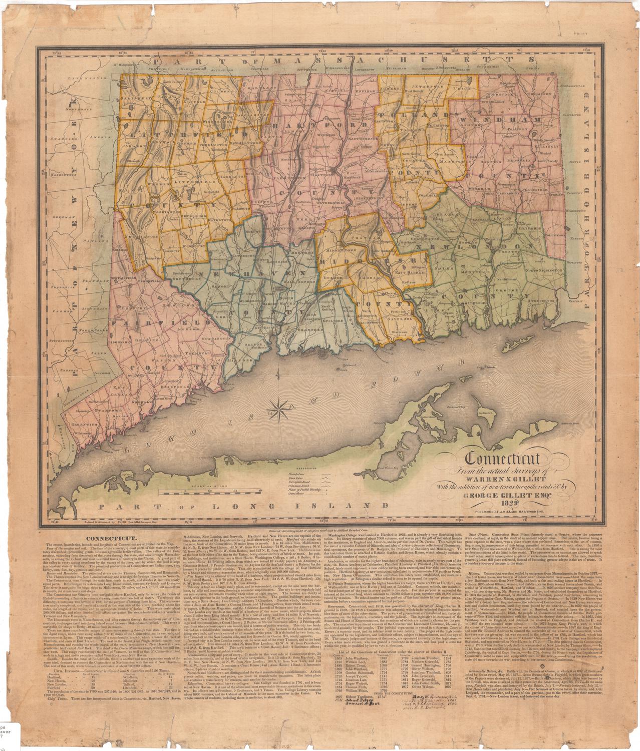
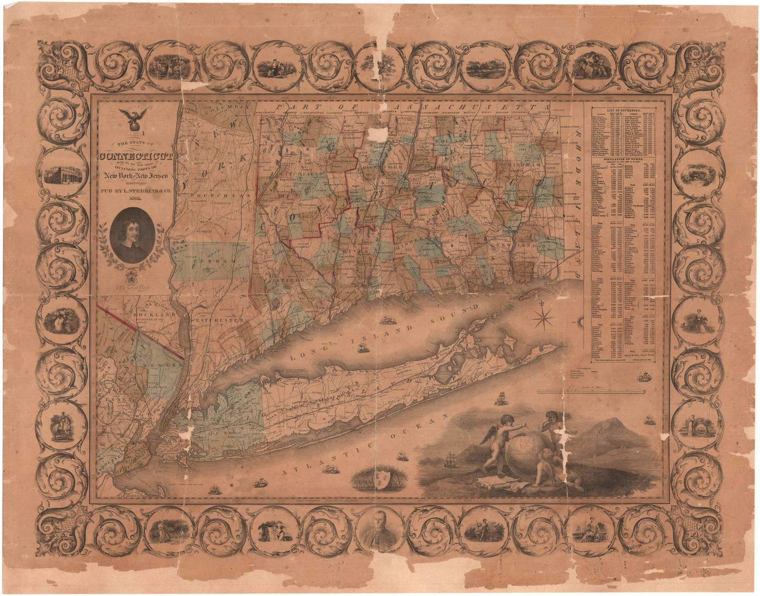
Map of Connecticut
PublisherPublished by
Charles Desilver
(American, 1814 or 1815 - 1876)
Date1859
MediumLithography; black printer's ink and watercolor on wove paper
DimensionsPrimary Dimensions (image height x width): 12 3/8 x 15in. (31.4 x 38.1cm)
Sheet (height x width): 13 3/4 x 17 3/8in. (34.9 x 44.1cm)
ClassificationsGraphics
Credit LineMuseum purchase
Object number1969.67.1
DescriptionMap of the state of Connecticut, with the border of Massachusetts to the north, Rhode Island to the east, the Long Island Sound to the south, and New York to the west. The state is divided into counties, which are labeled and delineated with broken solid lines, and towns, which are also labeled and delineated with solid lines. "Leading roads," common roads and railroads are the transportation routes shown, marked with different lines. The locations of courthouses, churches and taverns are also shown and marked with different symbols. Natural features include elevation, conveyed with hachure marks, ponds and lakes, islands and points. In the bottom right corner are two inset maps of Hartford and New Haven. To the left of the map is a statistical table containing information about the populations of various counties and towns in Connecticut, as well as historical population data.
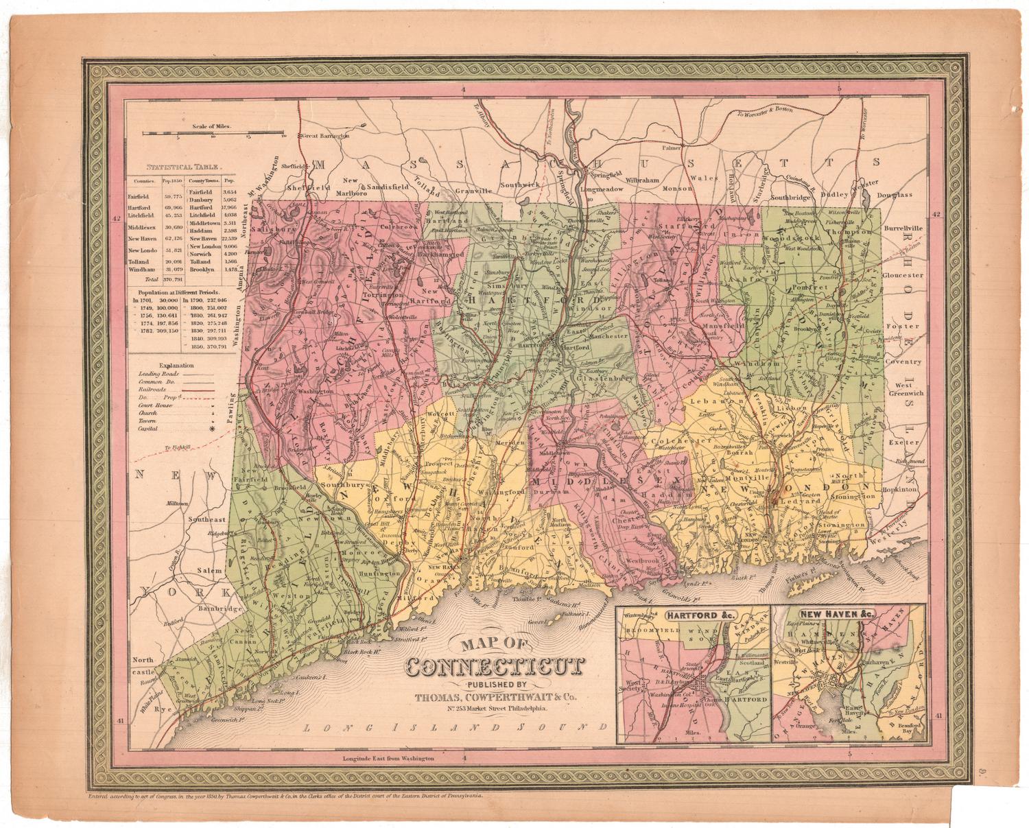
Label TextThis map began its long career as an engraving by E. B. Dawson that was published in A New American Atlas by H. S. Tanner in 1836. Subsequent editions of the atlas were published by Carey & Hart, S. Augustus Mitchell, and Thomas Copperthwait, all in Philadelphia, as the plates and publishing rights were transferred from one firm to another. For later editions such as this one, the design was transferred from a proof of the engraving to a lithographic stone, and the stone was used for printing the maps. In some editions of the map, the geographical data was conscientiously updated. In others, the map from the earlier edition was simply reprinted without changes, even though this meant that it was now out-of-date.
NotesCartographic Note: Scale: About 9/16 inches equals 5 milesStatus
Not on view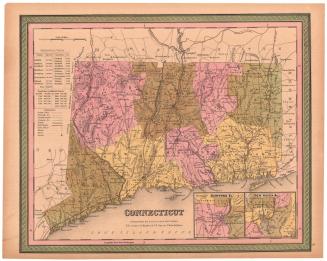
H. F. Sumner & Co.
1833


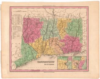
Lucius Stebbins & Co.
1859