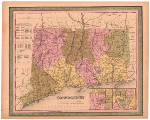
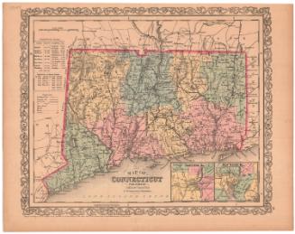
Connecticut
PublisherPublished by
Samuel Augustus Mitchell
(1792 - 1868)
Dateabout 1849
MediumEngraving; black printer's ink and watercolor on wove paper
DimensionsPrimary Dimensions (image height x width): 12 1/8 x 14 7/8in. (30.8 x 37.8cm)
Sheet (height x width): 13 x 16 5/8in. (33 x 42.2cm)
ClassificationsGraphics
Credit LineMuseum purchase
Object number1981.143.1
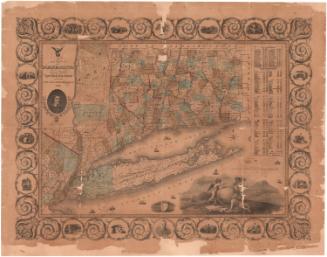
DescriptionMap of the state of Connecticut, with the border of Massachusetts to the north, Rhode Island to the east, the Long Island Sound to the south, and New York to the west. The state is divided into counties, which are labeled and delineated with broken solid lines, and towns, which are also labeled and delineated with solid lines. "Leading roads," common roads, canals and railroads are the transportation routes shown, marked with different lines. The locations of courthouses, churches and taverns are also shown and marked with different symbols. Natural features include elevation, conveyed with hachure marks, ponds and lakes, islands and points. In the bottom right corner are two inset maps of Hartford and New Haven. To the left of the map is a statistical table containing information about the populations of various counties and towns in Connecticut, as well as historical population data.
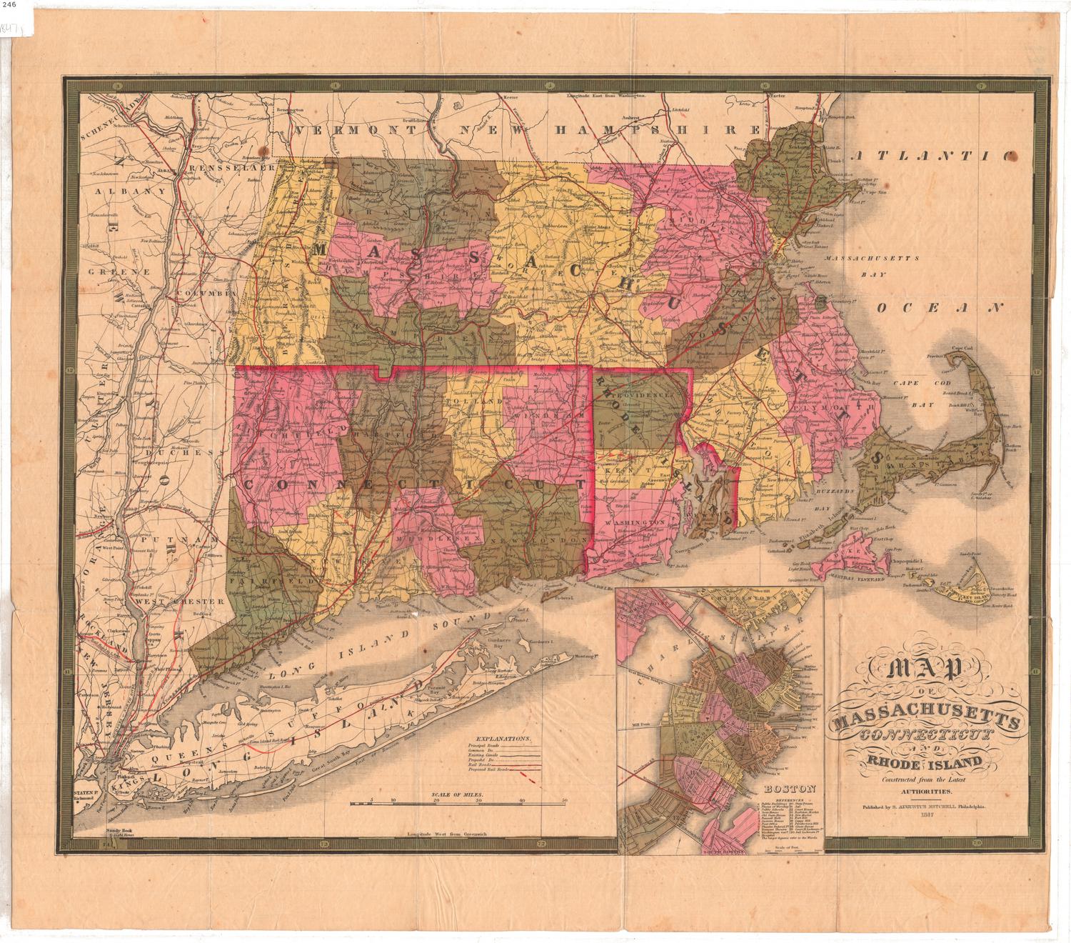
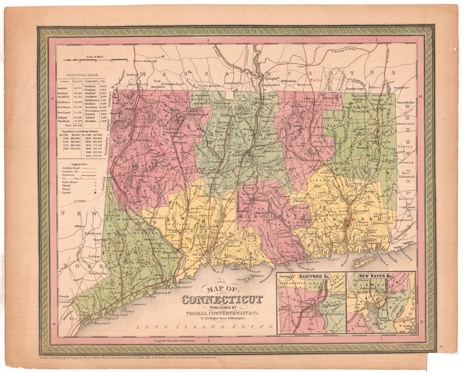
Label TextS. Augustus Mitchell acquired the publishing rights to A New Universal Atlas from Carey & Hart, who had acquired the popular pubication from H. S. Tanner. Mitchell removed the names of his predecessors from the maps, which he reissued as transfer lithographs based on proofs made from the original engraved plates. The lithographer added a decorative borders but made no attempt to revise the geographical information included in the maps, which means that this map of Connecticut is substantially out-of-date, as new towns continued to be incorporated throughout the nineteenth century. The publishing saga of this small map was not yet at an end; later editions of the atlas in which it appeared were published by Thomas Cowperthwait & Co. and by Charles DeSilver.
NotesCartographic Note: Scale: About 9/16 inches equals 5 milesStatus
Not on view


H. F. Sumner & Co.
1833
Lucius Stebbins & Co.
1859