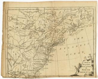
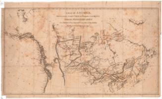
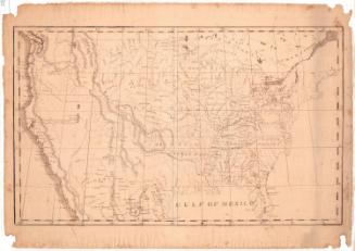
Map of the United States of America
MakerMade by
Amos Doolittle
(American, 1754 - 1832)
Date1790
MediumEngraving; black printer's ink on laid paper
DimensionsPrimary Dimensions (image height x width): 8 1/8 x 9 5/8in. (20.6 x 24.4cm)
Sheet (height x width): 8 1/2 x 10in. (21.6 x 25.4cm)
ClassificationsGraphics
Credit LineGift of William C. Conklin
Object number1971.71.6
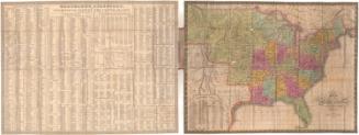
DescriptionMap of the United States as it appeared in 1790, from the Great Lakes and border with Canada to the north, the Atlantic Ocean to the east, Florida to the south, and Louisiana to the west. The states depicted are labeled, with dotted and broken solid lines representing boundaries. Population centers are marked with open circles and are labeled. Natural features include elevation, conveyed through clusters of peaks, and rivers and lakes, both of which are labeled.
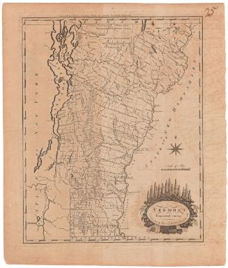
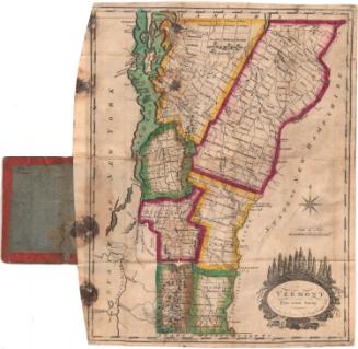
Label TextAlthough the shapes of nearly all of the states are vague and unfamiliar in this small map of the United States which probably appeared in a book or magazine about 1790, New Connecticut, the area that was also known as the Western Reserve, appears prominently just below Lake Erie. The map was engraved by the New Haven artist, Amos Doolittle, who also engraved Connecticut surveyor Seth Pease's important early maps of the Western Reserve. Connecticut finally relinquished its claims to the area in 1800.
NotesCartographic Note: No scaleStatus
Not on view