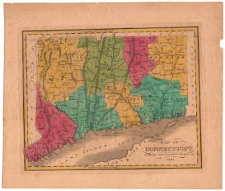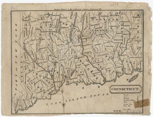
Connecticut
DraftsmanDrawn by
Unknown
PublisherPublished by
William S. Marsh
(American, 1788 - 1867)
Date1819
MediumEngraving; black printer's ink on paper
DimensionsPrimary Dimensions (image height x width): 7 1/2 x 9 1/2in. (19.1 x 24.1cm)
Platemark (width only): 10 1/2in. (26.7cm)
Sheet (height x width): 8 1/8 x 10 7/8in. (20.6 x 27.6cm)
Platemark (width only): 10 1/2in. (26.7cm)
Sheet (height x width): 8 1/8 x 10 7/8in. (20.6 x 27.6cm)
ClassificationsGraphics
Credit LineGift of William C. Conklin
DescriptionMap of the state of Connecticut, with the Long Island and the Long Island Sound to the south, and New York to the west (the states on the north and east are not shown). Connecticut is divided into counties, marked with double solid lines and labeled, and towns, also labeled and delineated with solid lines. Roads are conveyed through dotted lines. Cities are denoted with clusters of dots, boroughs with dots circumscribed by a triangle, and incorporated villages with a dot within a circle. Forts are also represented with a symbol. Elevation is portrayed through hachure marks. Rivers and what are probably ponds and lakes are shown but not labeled.
Object number1971.71.4
NotesCartographic Note: Scale: 1/2 inch equals 5 miles
Subject Note: This map appears to have an error in the key; it says that county lines are single solid and town lines are double solid, but the opposite is actually what is shown on the map.On View
Not on view