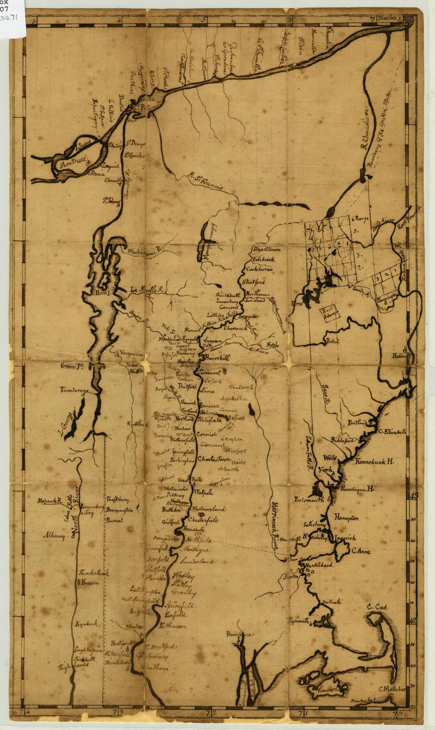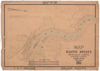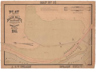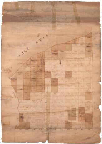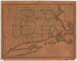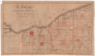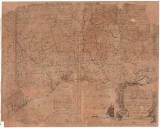
Plan of Monte Video, Daniel Wadsworth's Estate on Talcott Moutain
DraftsmanDrawn by
Unknown
DraftsmanPossibly drawn by
Daniel Wadsworth Esq.
(American, 1771 - 1848)
Date1819
MediumDrawing; black ink on wove paper; 2012.312.240a lined with paper, 2012.312.240b lined with linen
DimensionsPrimary Dimensions (2012.312.240a image height x width): 24 5/8 x 37 1/2in. (62.5 x 95.3cm)
Sheet (2012.312.240a height x width): 24 5/8 x 37 1/2in. (62.5 x 95.3cm)
Mount (2012.312.240a height x width): 25 x 37 7/8in. (63.5 x 96.2cm)
Primary Dimensions (2012.312.240b image height x width): 24 5/8 x 37 5/8in. (62.5 x 95.6cm)
Sheet (2012.312.240b height x width): 24 5/8 x 37 5/8in. (62.5 x 95.6cm)
Mount (2012.312.240b height x width): 24 5/8 x 37 5/8in. (62.5 x 95.6cm)
ClassificationsGraphics
Credit LineConnecticut Museum of Culture and History collection
DescriptionManuscript map, in two pieces, depicting the land around an unnamed lake, with several roads and at least three clusters of buildings, one of which is a "dwelling home." Below the map are three profiles, with letters on them marking structures or high or low points in and around the lake.
Object number2012.312.240a,b
NotesCartographic Note: No scaleOn View
Not on view