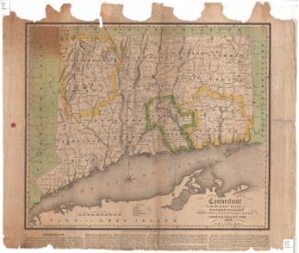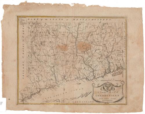
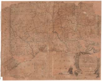
A Correct Map of Connecticut from actual Survey
PrintmakerEngraved by
Amos Doolittle
(American, 1754 - 1832)
Date1797
MediumEngraving; black priinter's ink and watercolor on paper
DimensionsPrimary Dimensions (image height x width): 13 x 16in. (33 x 40.6cm)
Platemark (height x width): 13 3/8 x 16 1/2in. (34 x 41.9cm)
Sheet (height x width): 16 1/8 x 20 3/4in. (41 x 52.7cm)
ClassificationsGraphics
Credit LineGift of Mrs. Hokan B. Steffanson
Object number1947.20.1
DescriptionMap of Connecticut, from Massachusetts to the north, Rhode Island to the east, part of Long Island and the Long Island Sound to the south, and New York State to the west. The state is divided into counties, which are labeled and delineated with broken solid lines. Cities are denoted on the map as cross-hatched squares and meeting houses and courthouses with little buildings. Natural features include elevation, depicted with hachure marks, rivers, ponds, harbors, islands and points. The cartouche features the state seal, with its three grapevines, and the state motto in Latin, "Qui transtulit sustinet" ("He who transplanted still sustains.")
Label TextIt's not clear why the engraver Amos Doolittle claimed that his Correct Map of Connecticut was based on an actual survey. There is no evidence that any new statewide survey took place in the 1790s and a small map of this sort would certainly have utilized existing sources. Doolittle made no such claim for his 1795 map of Connecticut, which he simply described as being "from the best Authorities." The later map appeared as an illustration in Benjamin Trumbull's Complete History of Connecticut (Hartford: Hudson & Goodwin, 1797).
NotesCartographic Note: Scale: 1 1/2 inches equals 10 milesStatus
Not on view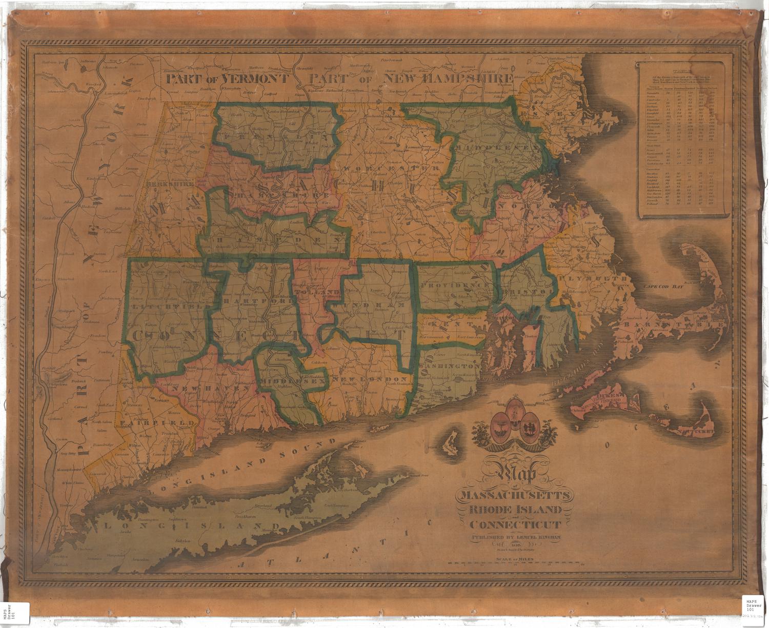

Joel Knott Allen
1791 or 1792