
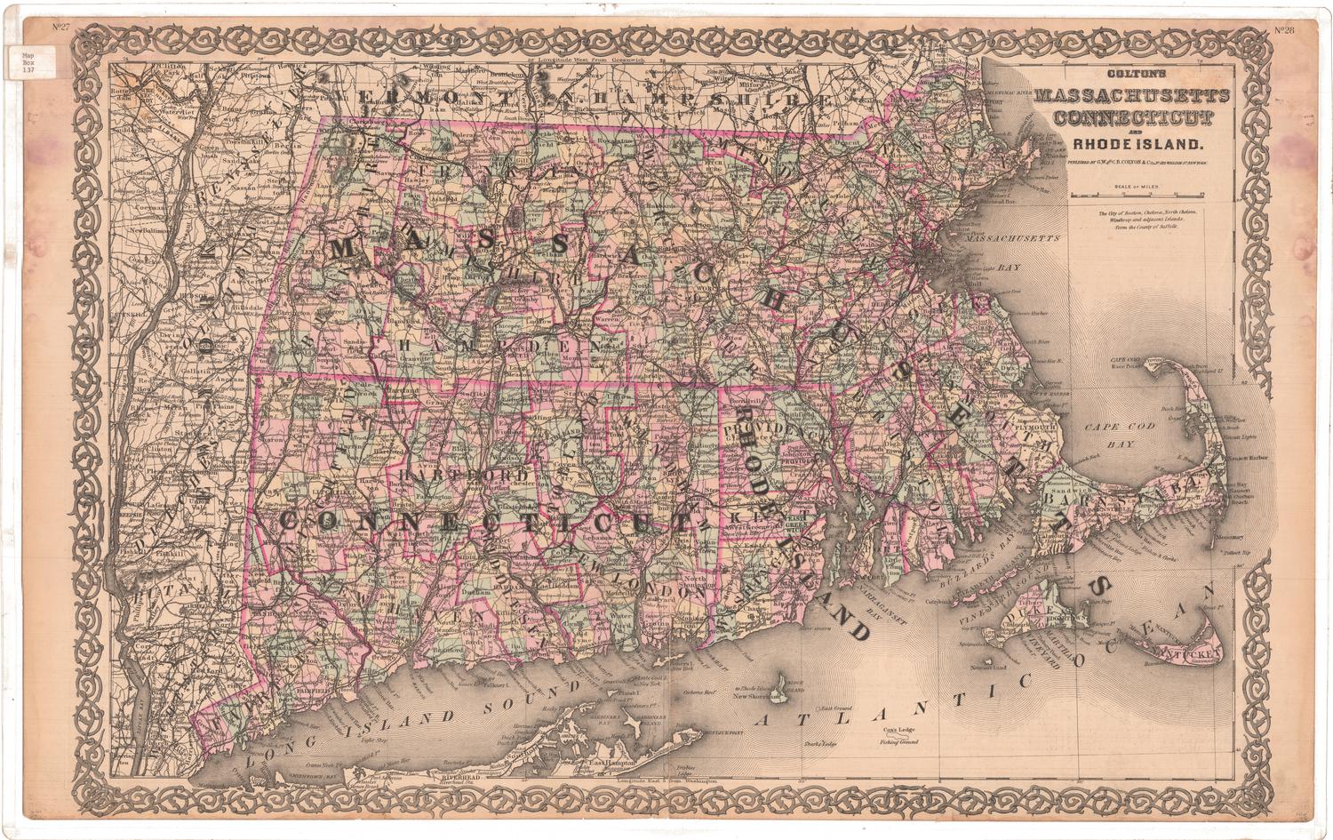
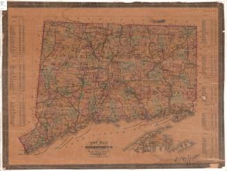
Map of Connecticut
PrinterPrinted by
Kellogg & Bulkeley
(American, 1867 - 1990)
PublisherPublished by
Baker & Tilden
(founded 1869)
Date1869
MediumLithograph; black printer's ink and watercolor on wove paper
DimensionsPrimary Dimensions (image height x width): 17 x 27 3/4in. (43.2 x 70.5cm)
Sheet (height x width): 18 x 28 1/2in. (45.7 x 72.4cm)
ClassificationsGraphics
Credit LineConnecticut Museum of Culture and History collection
Object number2006.115.0
DescriptionMap of Connecticut, with the border of Massachusetts to the north, Rhode Island to the east, part of Long Island and the Long Island Sound to the south, and New York to the west. The state is divided into counties, which are outlined in broken solid and dotted lines and labeled, and towns, which are outlined in broken solid lines and labeled. Railroads are clearly marked: Danbury and Norwalk; Boston, Hartford and Erie; Housatonic; Shore Line; New Haven and Northampton; New Haven, Hartford and Springfield; New London Northern; Hartford, Providence and Fishkill; and Norwich and Worcester Railroads. Natural features include rivers, ponds and lakes, islands and harbors.
Label TextLike most early to mid-nineteenth century maps, this 1869 map of Connecticut is hand-colored using watercolors, probably with the aid of stencils. Unlike most earlier maps which use solid blocks of color to indicate counties, however, this map uses separate colors for each individual town, creating a lively patchwork effect. Kellogg & Bulkeley was Hartford's largest and most successful lithography firm, the successor to D.W. Kellogg & Co. and E.B. & E.C. Kellogg. For more than forty years, the Kellogg brothers printed--and sometimes published--many maps, not only of the local area, but of other regions as well.
NotesCartographic Note: Scale: 1 inch equals 4 1/2 milesStatus
Not on view


Lucius Stebbins & Co.
1859

