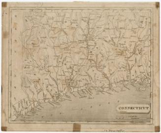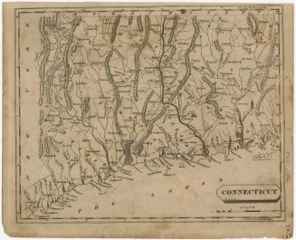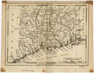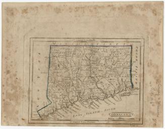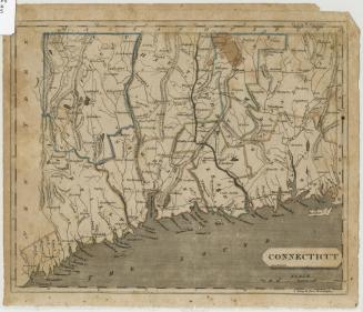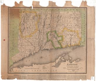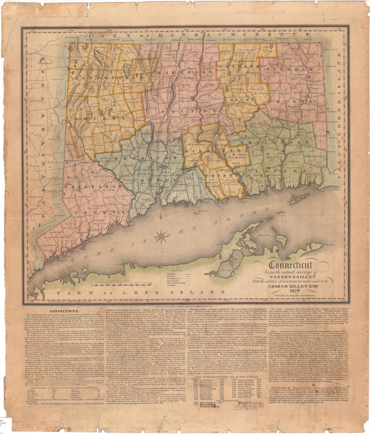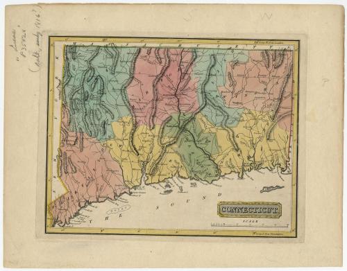
Connecticut
DraftsmanDrawn by
Samuel Lewis
(American, 1754 - 1822)
PrintmakerEngraved by
Henry Schenck Tanner
(American, 1786 - 1858)
Date1816
MediumEngraving; black printer's ink and watercolor on paper
DimensionsPrimary Dimensions (image height x width): 8 3/8 x 10 5/8in. (21.3 x 27cm)
Platemark (height x width): 8 3/4 x 11 3/8in. (22.2 x 28.9cm)
Sheet (height x width): 11 1/8 x 14 1/4in. (28.3 x 36.2cm)
ClassificationsGraphics
Credit LineHoadley Fund
Object number1946.16.3
DescriptionMap of the state of Connecticut, with Massachusetts to the north, Rhode Island to the east, the Long Island Sound to the south, and New York State to the west. The state is divided into counties, labeled, colored and delineated with dotted lines. Population centers appear to be denoted with open circles. Elevation is depicted with hachure marks. Local roads are shown. Many small rivers are shown in addition to the Connecticut, Stratford (Housatonic), Thames and Quinebaug Rivers. Harbors, points, islands, shoals and ponds are also depicted.
Label TextThe data on this handsome little map is identical with that included on Samuel Lewis's 1812 map of Connecticut, and that map was already badly out-of-date. Both maps fail to reflect the many new towns that were being incorporated in the early nineteenth century, made up from pieces of other, previously existing towns. This map was included in a General Atlas Containing Distinct Maps of All the Known Countries, published by Lucas Fielding in Baltimore in 1816.
NotesCartographic Note: Scale: 1 1/8 inches equals 10 milesConstituent Note: Although better known as cartographer, H.S. Tanner was the engraver of this map.
Status
Not on view