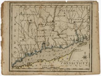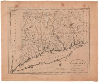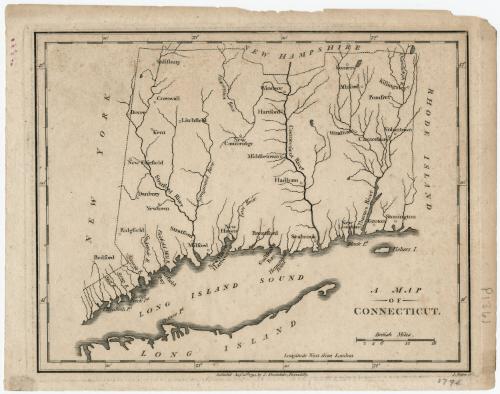
A Map of Connecticut
PrintmakerEngraved by
J. Roper
(British, 1771 - 1810)
PublisherPublished by
John Stockdale
(British, 1750 - 1814)
Date1794
MediumEngraving; black printer's ink on paper
DimensionsPrimary Dimensions (image height x width): 7 x 9in. (17.8 x 22.9cm)
Platemark (height x width): 7 3/8 x 9 3/8in. (18.7 x 23.8cm)
Sheet (height x width): 8 x 10 1/4in. (20.3 x 26cm)
Platemark (height x width): 7 3/8 x 9 3/8in. (18.7 x 23.8cm)
Sheet (height x width): 8 x 10 1/4in. (20.3 x 26cm)
ClassificationsGraphics
Credit LineMuseum purchase - Hoadley Fund
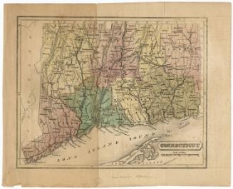
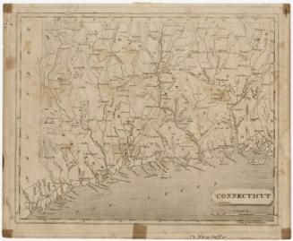
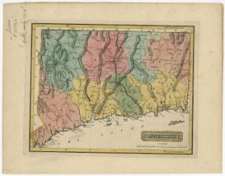
DescriptionMap of Connecticut, with the boundary of New Hampshire to the north, Rhode Island to the east, Long Island and the Long Island Sound to the south, and New York to the west. There are no boundaries marked within the state, although cities are labeled. More prominent are the rivers: the Stratford (Housatonic), Connecticut and Thames Rivers are the largest rivers depicted, but also shown are the Mill, Stoney, Norwalk, Saukatuk (Saugatuck), Fairfield Mill, Naugatuck, Farmington, East, and Quinibaug Rivers. Other natural features include bays and points along the coast.
Object number1946.16.1
NotesCartographic Note: Scale: 1 5/8 inches equals 18 milesOn View
Not on view