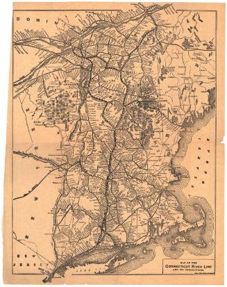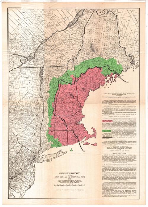
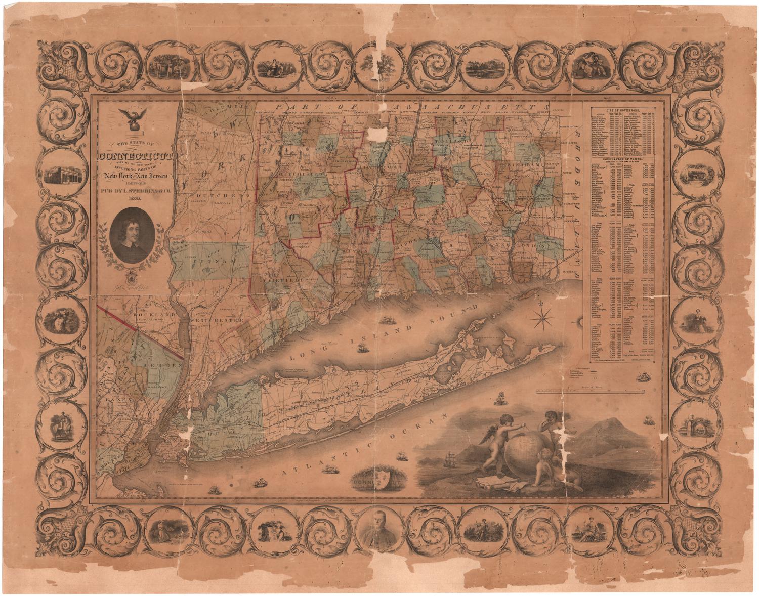
Areas Quarantined for Gypsy Moth and Brown-Tail Moth
PublisherPublished by
United States Department of Agriculture
(American, founded 1862)
Date1938
MediumLithography; black and colored printer's inks on wove paper
DimensionsPrimary Dimensions (image height x width): 32 5/8 x 22 5/8in. (82.9 x 57.5cm)
Sheet (height x width): 34 5/8 x 24 1/2in. (87.9 x 62.2cm)
ClassificationsGraphics
Credit LineConnecticut Museum of Culture and History collection
Object number1990.178.0
DescriptionMap of the eastern United States and part of Canada, from Quebec to the north, New Brunswick to the east, New Jersey to the south, and part of New York to the west. States depicted are New York, New Jersey, part of Delaware, and the New England states. Areas colored green on the map, contained to New England, indicate those only lightly infested with the gypsy moth, while pink, also contained to New England, indicates those generally infested. The brown-tail moth infestation area is marked with a thick solid line, and runs through Maine, Vermont, eastern Massachusetts, and encompasses all of New Hampshire. On the right side of the sheet is an explanation of the gypsy moth and brown-tail moth quarantine.
Label TextThe gypsy moth outbreak in 1938 was said to the worst in Connecticut's history up to that time. While gypsy moth caterpillars emerge and feed in May and June, brown-tail moth caterpillars emerge in August. Both species feed ravenously on the leaves of deciduous trees. In 1938, many hundreds of acres were entirely defoliated by the hungry caterpillars. The Civilian Conservation Corps was enlisted to help locate and destroy egg masses and prevent the pests from spreading. This map shows the extent of the infestation throughout New England and gives quarantee regulations intended to help limit the spread of the outbreak beyond the affected areas.
NotesCartographic Note: Scale: 1 inch equals 20 milesStatus
Not on view
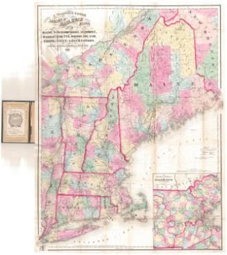
Matthews-Northrup Company
1913
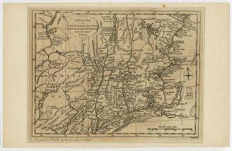
Lucius Stebbins & Co.
1859