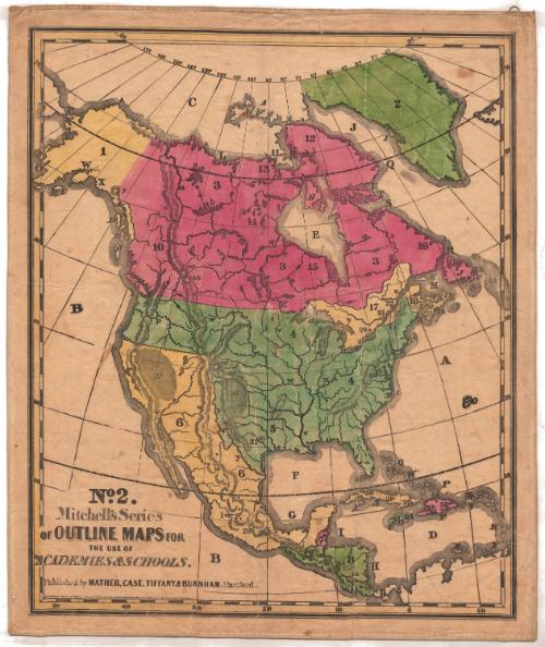
North America
PrinterPrinted by
Mather, Case, Tiffany & Burnham
(American, active 1841)
Date1841
MediumLithography; black printer's ink and watercolor on paper, lined with linen
DimensionsPrimary Dimensions (image height x width): 27 1/4 x 22 7/8in. (69.2 x 58.1cm)
Sheet (height x width): 28 3/4 x 23 3/8in. (73 x 59.4cm)
Mount (height x width): 29 1/4 x 24 7/8in. (74.3 x 63.2cm)
ClassificationsGraphics
Credit LineConnecticut Museum of Culture and History collection
Object number2012.312.222.2
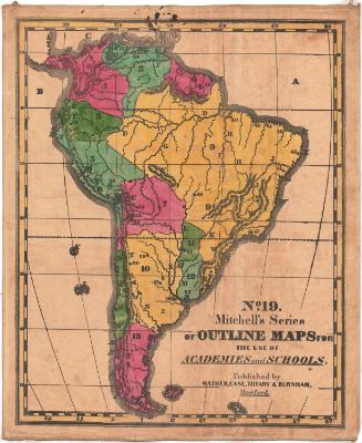
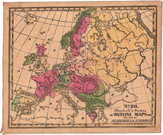
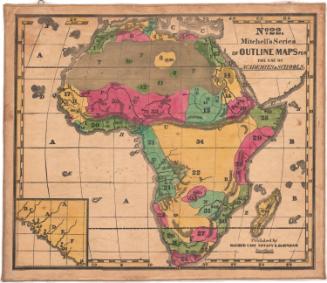
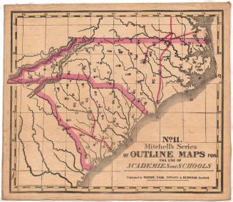
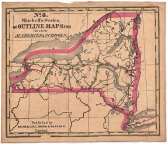
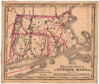
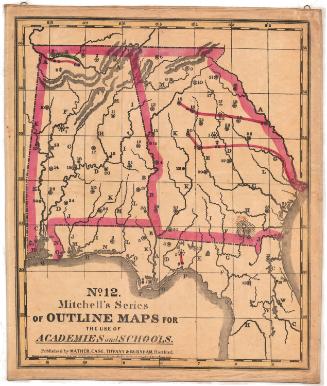
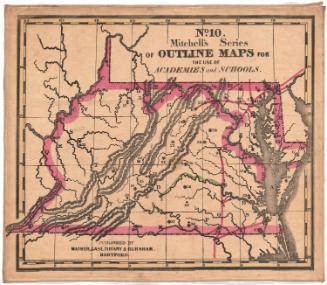
DescriptionOutline map of North America. The countries are delineated with broken solid lines and instead of being labeled, they are identified with numbers and letters that correspond with information in the key, published separately from the map. Natural features include elevation, conveyed through hachure marks, and rivers.
Label TextStudents in 1841 would have used this map to identify the following political divisions of North America: Russian America, Greenland, British North America, the United States of America, Texas, Mexico and "Balize," "Guatimala," and the West Indies. British America was the largest, wtih 2,310,000 square miles, followed by the United States, with 2,300,000 square miles. Mexico was also huge, with 1,500,000 square miles. Territorial boundaries would change dramatically over the course of the next decade.
NotesCartographic Note: No scaleStatus
Not on view