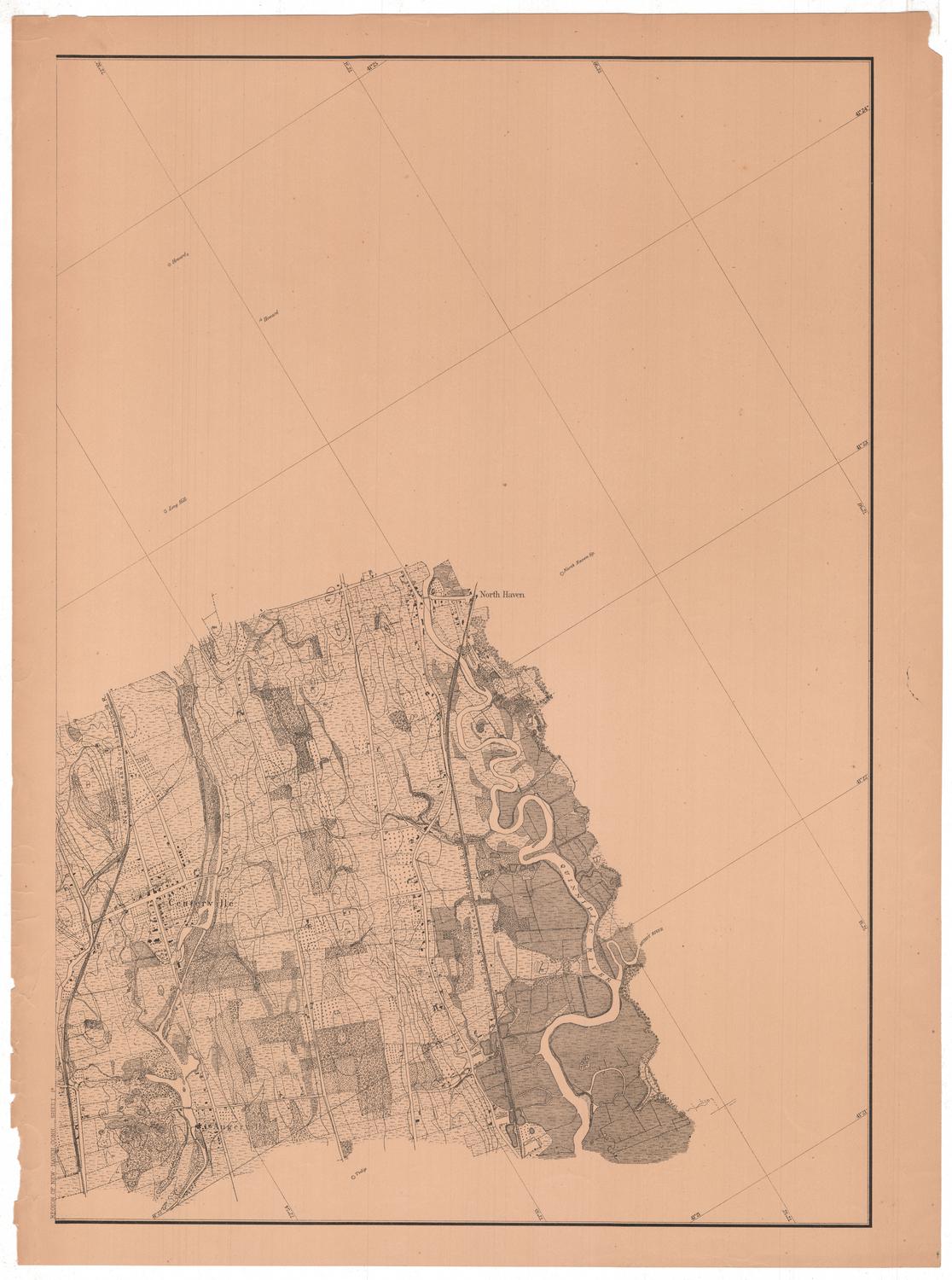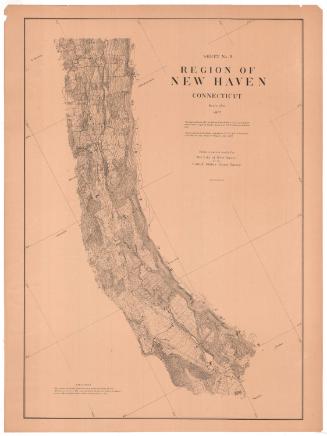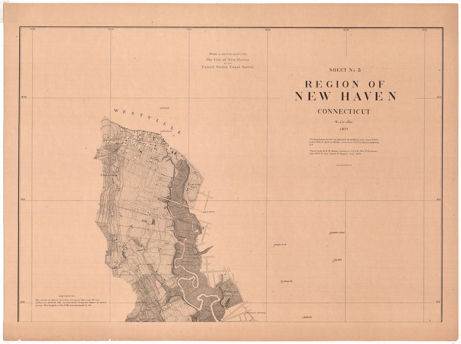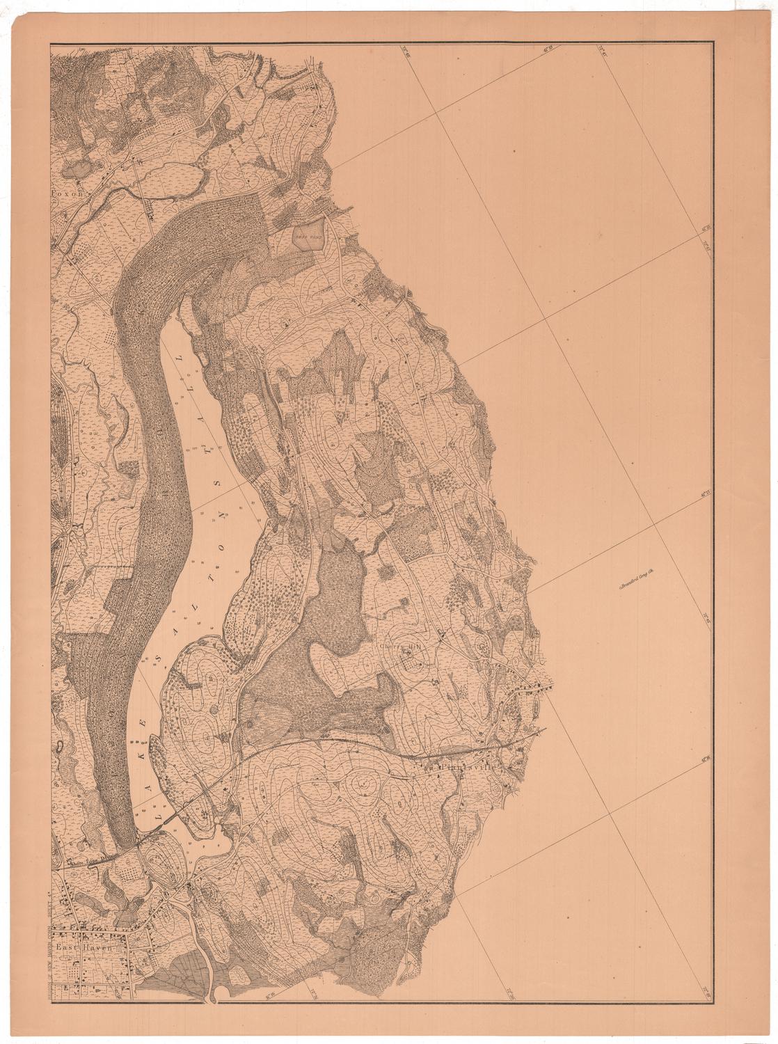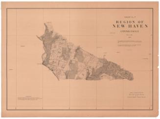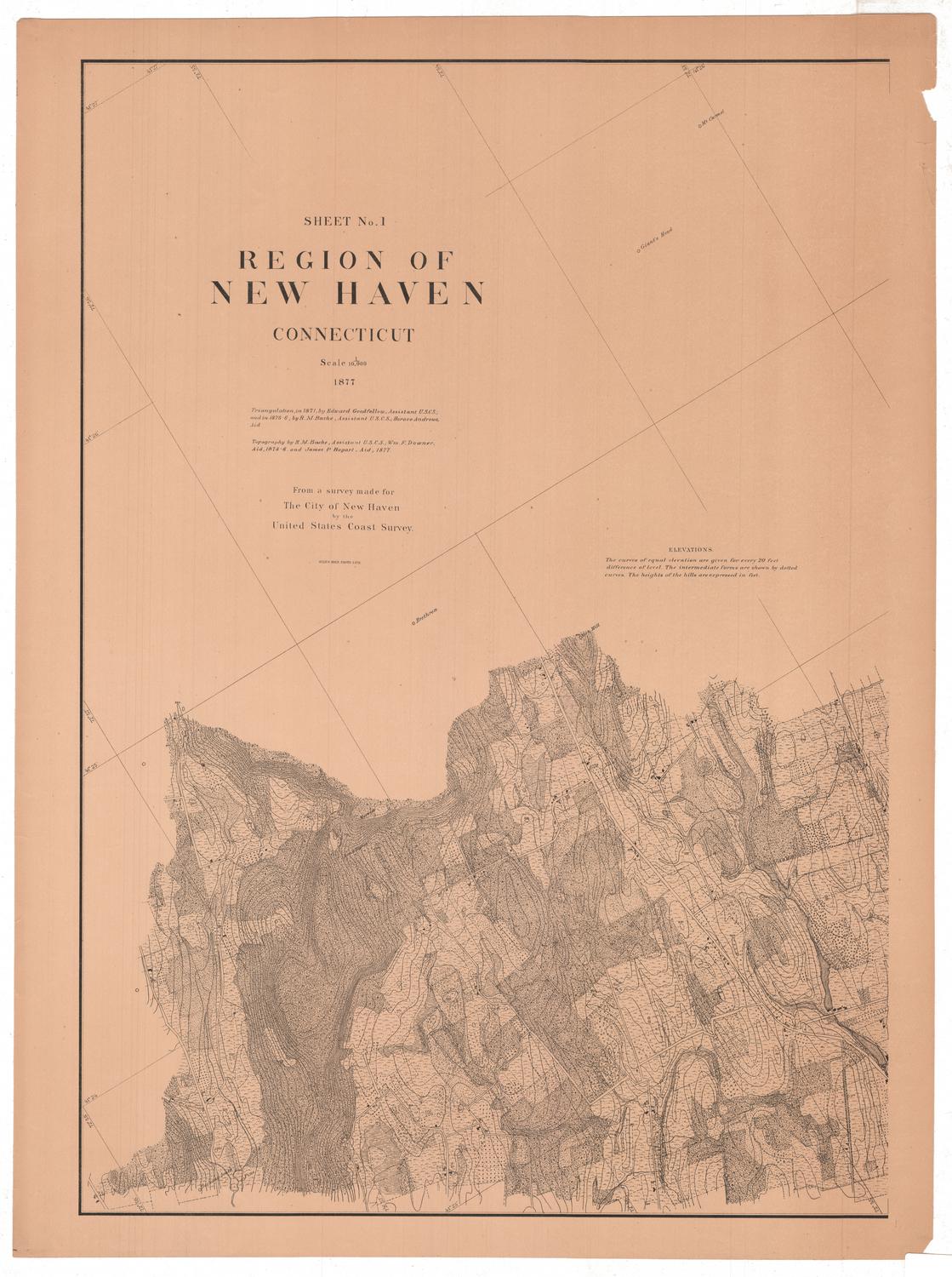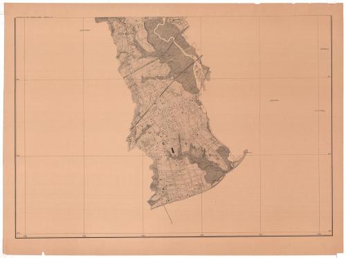
Sheet Number 5a. Region of New Haven, Connecticut
MakerMade by
United States Coast Survey
(American, founded 1807)
SurveyorTriangulation by
Richard Meade Bache
(American, 1830 - 1907)
SurveyorTriangulation by
Horace Andrews
(American, 1852 - 1945)
SurveyorSurveyed by
Edward Goodfellow
(American, about 1828 - 1899)
SurveyorTopography by
Richard Meade Bache
(American, 1830 - 1907)
SurveyorTopography by
James P. Bogart
(1852 - 1903)
SurveyorTopography by
William F. Downer
(American, 1850 - 1923)
PrinterLithographed by
Julius Bien
(1826 - 1909)
Date1877
MediumPhoto lithography; black printer's ink on paper
DimensionsPrimary Dimensions (image height x width): 21 x 30 1/8in. (53.3 x 76.5cm)
Sheet (height x width): 24 x 32 1/4in. (61 x 81.9cm)
ClassificationsGraphics
Credit LineConnecticut Museum of Culture and History collection
Object number2012.312.216.9
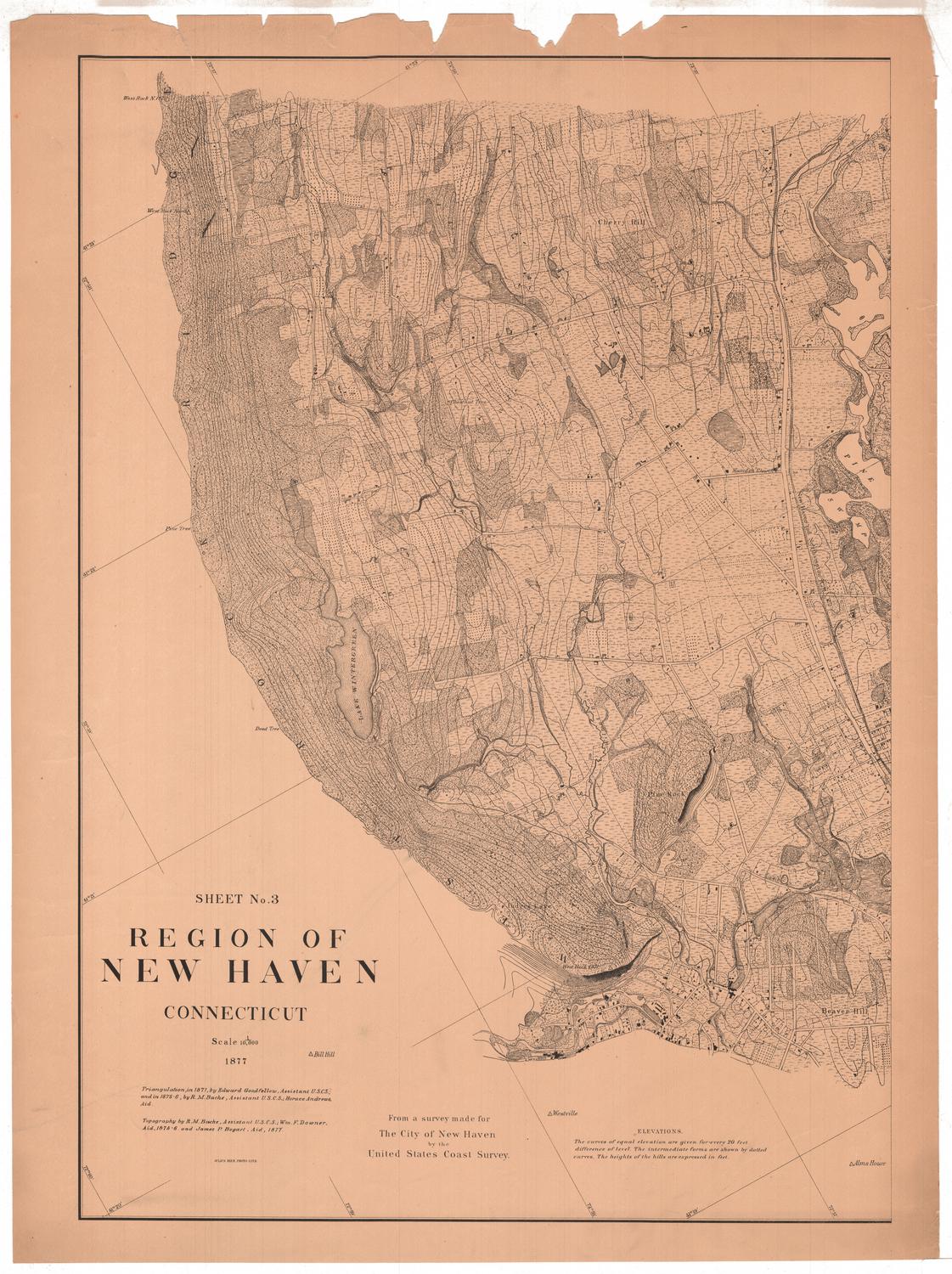
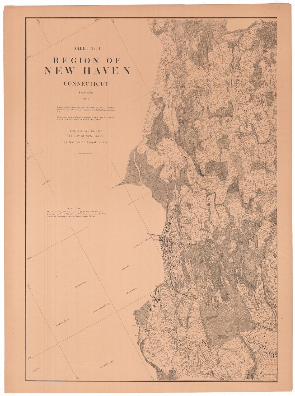
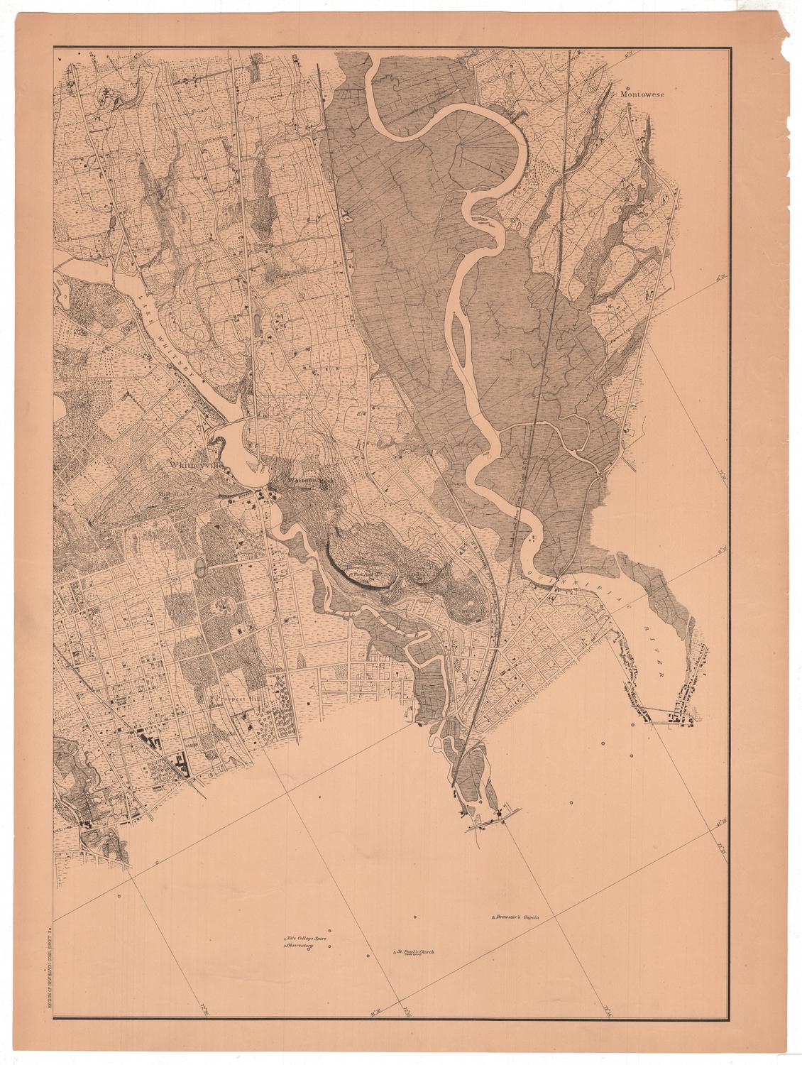
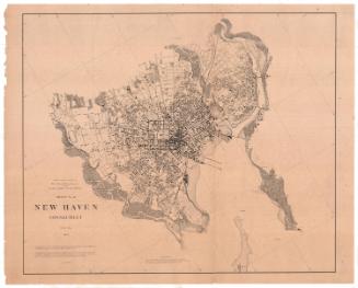
DescriptionSheet 5a of an 11-sheet map of the New Haven, Connecticut, area, primarily conveying the topography, geographical coordinates and different types of land in the area.It extends from St. Bernard Cemetery to the north, the West River to where it flows into the New Haven Harbor to the east, West Haven to the south, and Allingtown to the west. The New Haven and Darby and New York, New Haven and Hartford Railroads both cross the river. Land divisions are indicated with dotted lines, and what are presumably roads are indicated with solid parallel lines. Contour lines indicate elevation with the height of the hill provided in feet. Buildings appear to be shown with small rectangular shapes, either shaded or marked with an "x." Additionally, some landmarks beyond the area detailed are provided: the Round House, Watch House, White House and Peak on House, in the case of this map.
Label TextMuch of West Haven appears low and marshy in this segment of the 1877 United States Coast Survey map of New Haven and its vicinity. Most of the scattered house appear to be associated with farms. The small village of Allingtown, located near what today would be the junction of Routes 1 and 122, was named for Captain John Alling, a seventeenth-century resident. For this survey, the head of the United States Coast Survey, Richard M. Bache, employed recent graduates of the Sheffield Scientific School, including Horace Andrews and James P. Bogart. Although their names do not appear on this particular sheet, they undoubtedly contributed to it, just as they did to other parts of this large and detailed topographical map.
NotesCartographic Note: No scale printed on the map, but it is probably 1:10,000, based on the other maps in the seriesStatus
Not on view