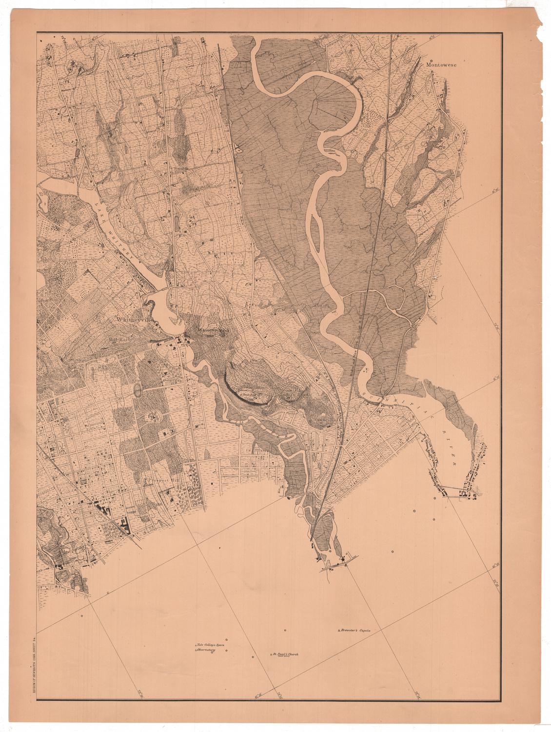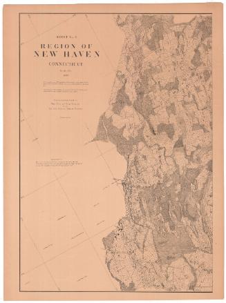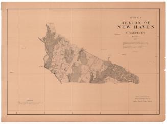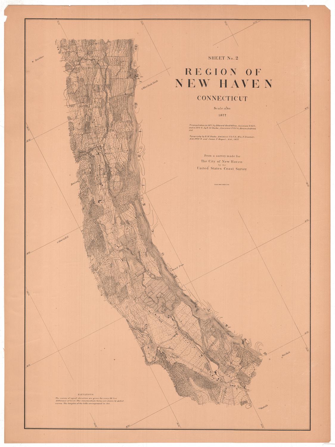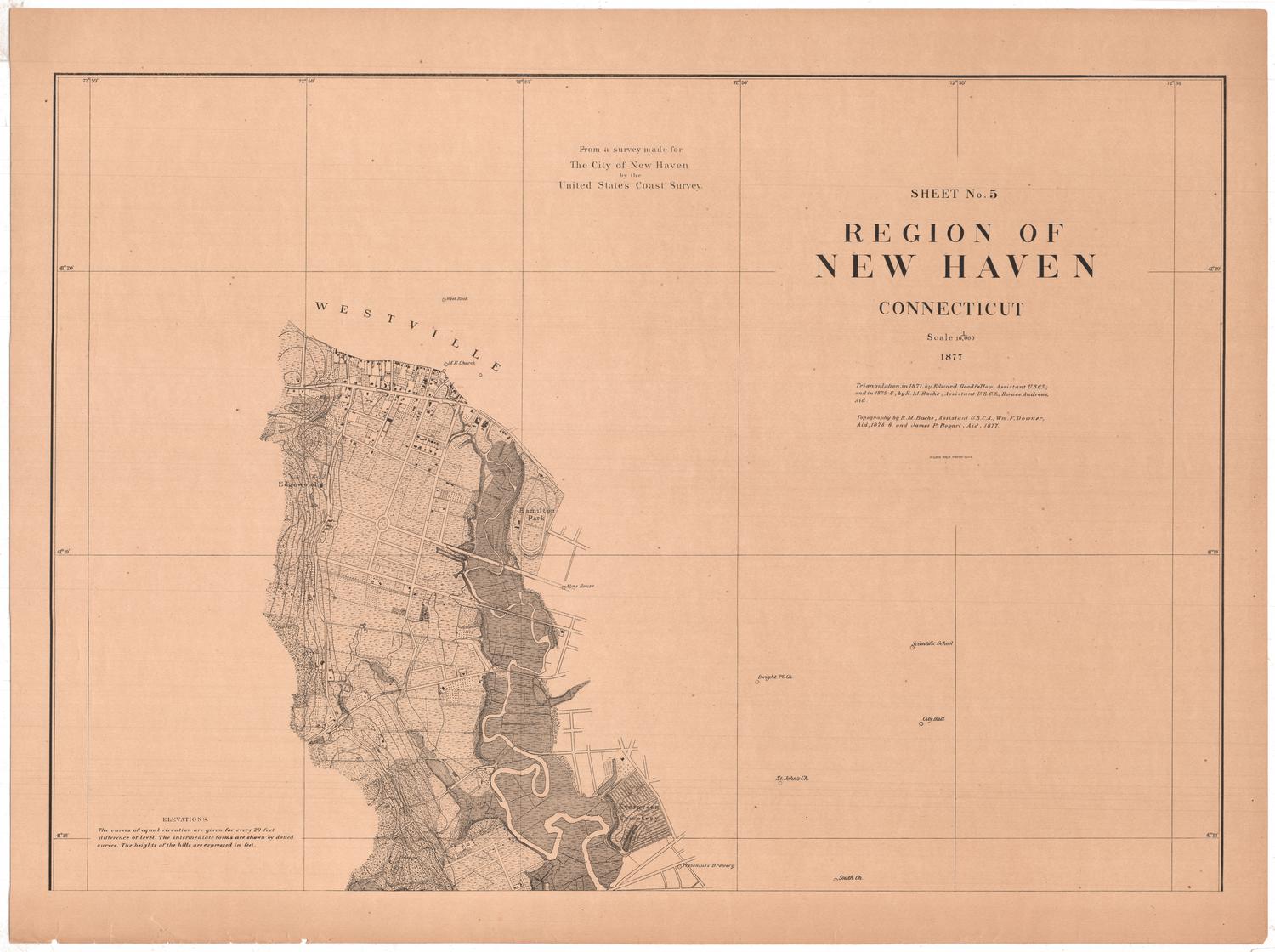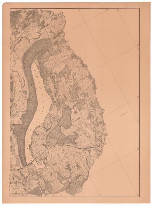
Sheet Number 4a. Region of New Haven, Connecticut
MakerMade by
United States Coast Survey
(American, founded 1807)
SurveyorTriangulation by
Horace Andrews
(American, 1852 - 1945)
SurveyorTriangulation by
Edward Goodfellow
(American, about 1828 - 1899)
SurveyorTriangulation by
Richard Meade Bache
(American, 1830 - 1907)
SurveyorTopography by
Richard Meade Bache
(American, 1830 - 1907)
SurveyorTopography by
James P. Bogart
(1852 - 1903)
SurveyorTopography by
William F. Downer
(American, 1850 - 1923)
PrinterLithographed by
Julius Bien
(1826 - 1909)
Date1877
MediumPhoto lithography; black printer's ink on paper
DimensionsPrimary Dimensions (image height x width): 30 1/4 x 21in. (76.8 x 53.3cm)
Sheet (height x width): 32 1/4 x 24in. (81.9 x 61cm)
ClassificationsGraphics
Credit LineConnecticut Museum of Culture and History collection
Object number2012.312.216.7
DescriptionSheet 4a of an 11-sheet map of the New Haven, Connecticut, area, primarily conveying the topography, geographical coordinates and different types of land in the area. It shows Lake Saltonstall, with Cherry Hill to the east, East Haven to the southwest, and the Shore Line Division of the New York, New Haven and Hartford railroad crossing the lake at the bottom. Land divisions are indicated with dotted lines, and what are presumably roads are indicated with solid parallel lines. Contour lines indicate elevation with the height of the hill provided in feet. Buildings appear to be shown with small rectangular shapes, either shaded or marked with an "x." Additionally, some landmarks beyond the area detailed are provided: Branford Congregational Church in the case of this map.
Label TextLake Saltonstall is said to be named for Gurdon S. Saltonstall, who was Governor of Connecticut from 1708 to 1724. Saltonstall's house was supposedly located on the hill overlooking the lake; both the hill and the lake are supposedly named for him. The lake was located entirely within the town of East Haven in 1877 when this map was made. In 1881, New Haven took back the western part of the town in return for payment of East Haven's war debt. The new boundary between the two towns would run down the middle of the lake. For this detailed series of maps of the New Haven region, the head of the United States Coast Survey, Richard M. Bache, employed recent graduates of the Sheffield Scientific School, including Horace Andrews and James P. Bogart.
NotesCartographic Note: No scale printed on the map, but it is probably 1:10,000, based on the other maps in the seriesStatus
Not on view