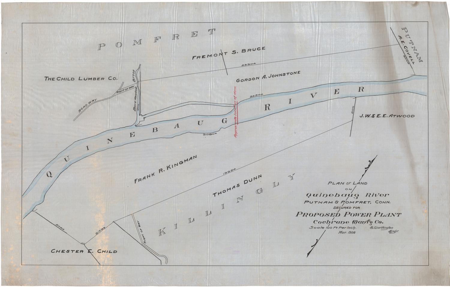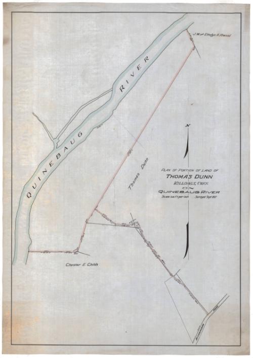
Plan of Portion of Land of Thomas Dunn, Killingly, Connecticut, on Quinebaug River
SurveyorPossibly surveyed by
Erastus Worthington
(American, 1863 - 1953)
Date1907
MediumDrawing; ink, pencil and watercolor on drafting linen
DimensionsPrimary Dimensions (image height x width): 35 1/8 x 24 3/8in. (89.2 x 61.9cm)
Sheet (height x width): 37 1/8 x 26 3/8in. (94.3 x 67cm)
Sheet (height x width): 37 1/8 x 26 3/8in. (94.3 x 67cm)
ClassificationsGraphics
Credit LineConnecticut Museum of Culture and History collection
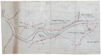
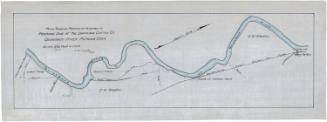
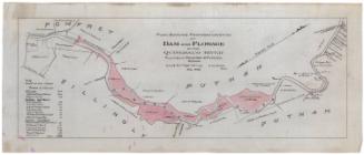
DescriptionMap of parts of several plots of land along the Quinebaug River in Killingly, Connecticut. To the north is part of J.W. and Ethelyn A. Atwood's land, southeast of which is Thomas Dunn's land. Southeast again is Chester E. Child's land. Between these three plots of land and the river is unlabeled land. At the bottom right corner of the map is Attawaugan Road. Between it and Thomas Dunn's land boundary is a right of way that abuts with Childs' land.
Object number2012.312.232
NotesCartographic Note: Scale: 1 inch equals 100 feetOn View
Not on view