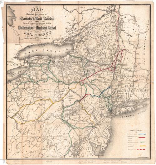
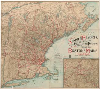
Map Showing the Lines of Canals and Rail Roads Owned, Leased and Operated by the Delaware and Hudson Rail Road Company, with their Connections.
PrinterPrinted by
Weed, Parsons & Co.
(American, founded about 1849)
Date1873
MediumLithography; black printer's ink and color on wove paper
DimensionsPrimary Dimensions (image height x width): 30 x 28 1/4in. (76.2 x 71.8cm)
Sheet (height x width): 31 1/2 x 29 5/8in. (80 x 75.2cm)
Sheet (height x width): 31 1/2 x 29 5/8in. (80 x 75.2cm)
ClassificationsGraphics
Credit LineGift of Ellen E. Flagg and Mrs. Harvey I. Maxson
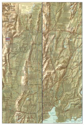
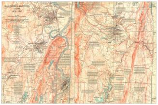
DescriptionMap of the northeastern United States and part of Canada, showing the lines of the Delaware and Hudson Canal and Railroad Company. Only part of New England is included, with Connecticut and Vermont and parts of Massachusetts and New Hampshire appearing on the map. The different canal and railroad lines are explained in the Explanation List at the bottom right. The lines are also color-coded, although the color appears to have been applied incorrectly to the map. There are several lines that have been colored yellow that should actually have been green, and most of the lines are not colored at all.
Object number1930.11.1
NotesCartographic Note: No scaleOn View
Not on view

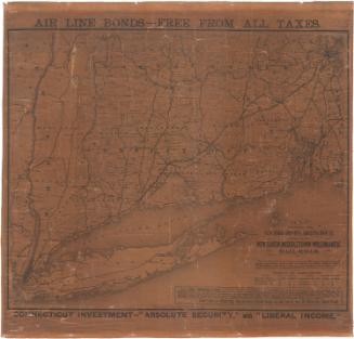
Matthews-Northrup Company
1913