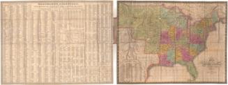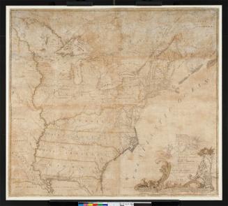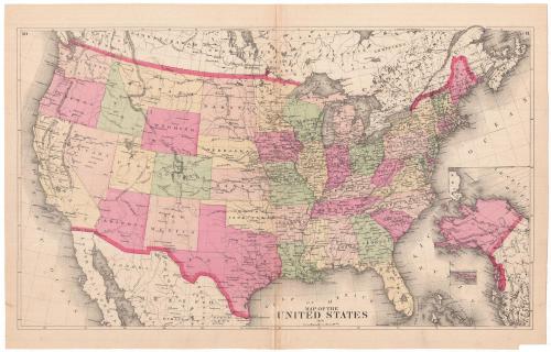
Map of the United States
PublisherPublished by
Unknown
Date1874
MediumLithography; black printer's ink and watercolor on wove paper
DimensionsPrimary Dimensions (image height x width): 12 7/8 x 21 3/4in. (32.7 x 55.2cm)
Sheet (height x width): 14 5/8 x 22 3/4in. (37.1 x 57.8cm)
Sheet (height x width): 14 5/8 x 22 3/4in. (37.1 x 57.8cm)
ClassificationsGraphics
Credit LineMuseum purchase
DescriptionMap of the United States, with Canada to the north, the Atlantic Ocean to the east, Mexico and the Gulf of Mexico to the south, and the Pacific Ocean to the west. In the bottom right corner is an inset map of Alaska. The states are labeled, divided by broken solid and dotted lines, and colored green, yellow, or one of two shades of pink. Towns are marked with open circles and forts with crosses. Elevation is conveyed with hachure marks. Roads or railroads are shown as single lines but are not labeled.
Object number1980.100.21
NotesCartographic Note: Scale: About an inch equals 150 milesOn View
Not on view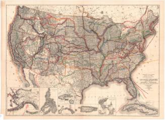
Ithamar P. Berthrong
1908