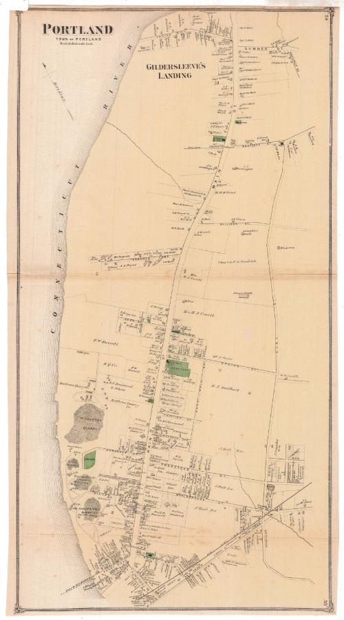
Portland
PublisherPublished by
F. W. Beers & Co.
(American)
Date1874
MediumLithography; black printer's ink and watercolor on wove paper
DimensionsPrimary Dimensions (image height x width): 26 5/8 x 14in. (67.6 x 35.6cm)
Sheet (height x width): 26 7/8 x 14 5/8in. (68.3 x 37.1cm)
Sheet (height x width): 26 7/8 x 14 5/8in. (68.3 x 37.1cm)
ClassificationsGraphics
Credit LineMuseum purchase
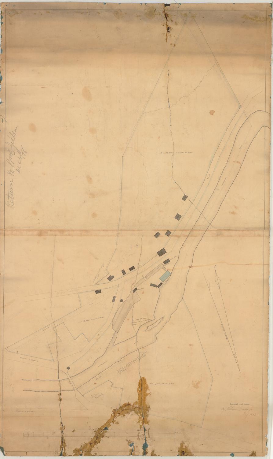
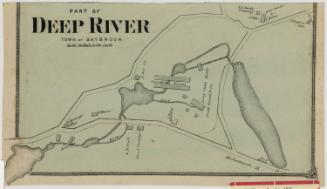
DescriptionMap of the town of Portland, Connecticut, from Indian Hill Avenue to the north, High Street to the east, the Air Line Railroad to the south, and the Connecticut River to the west. Gildersleeve's Landing is labeled as the area near Indian Hill Avenue. Middlesex Quarry, the town quarry, Brainerds & Company Quarry Company quarry and buildings, and the Shaler & Hall Quarry Company quarry are all shown. Private residences, businesses and public buildings are depicted and labeled with the owner or occupant's name.
Object number1980.100.10
NotesCartographic Note: Scale: 1 inch equals 30 rodsOn View
Not on view
Richard S. DeLamater