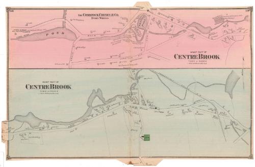
West Part of Centrebrook, Town of Essex
PublisherPublished by
F. W. Beers & Co.
(American)
Date1874
MediumLithography; black printer's ink and watercolor on wove paper
DimensionsPrimary Dimensions (image height x width): 15 1/4 x 23 1/8in. (38.7 x 58.7cm)
Sheet (height x width): 15 1/4 x 23 1/4in. (38.7 x 59.1cm)
Sheet (height x width): 15 1/4 x 23 1/4in. (38.7 x 59.1cm)
ClassificationsGraphics
Credit LineMuseum purchase
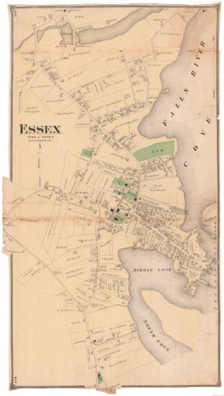
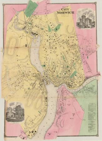
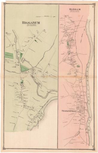
DescriptionMaps of the west and east parts of the hamlet of Centrebrook in the town of Essex, Connecticut. The west part map shows many of the businesses, including the Comstock, Cheney and Company ivory works, along the Falls River, while the east part map shows mostly residences. Roads are labeled and are lined with residences, businesses and public buildings, all indicated with rectangular shapes and labeled with the owner or occupant's name. Property boundaries are marked with thin, single lines, and a cemetery is colored green, presumably to indicate open spaces.
Object number1980.100.4
NotesCartographic Note: Scale: 1 inch equals 20 rodsOn View
Not on view