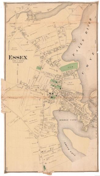
West Part of Centrebrook, Town of Essex
PublisherPublished by
F. W. Beers & Co.
(American)
Date1874
MediumLithography; black printer's ink and watercolor on wove paper
DimensionsPrimary Dimensions (image height x width): 15 1/4 x 23 1/8in. (38.7 x 58.7cm)
Sheet (height x width): 15 1/4 x 23 1/4in. (38.7 x 59.1cm)
ClassificationsGraphics
Credit LineMuseum purchase
Object number1980.100.4
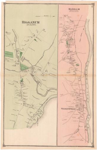
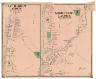
DescriptionMaps of the west and east parts of the hamlet of Centrebrook in the town of Essex, Connecticut. The west part map shows many of the businesses, including the Comstock, Cheney and Company ivory works, along the Falls River, while the east part map shows mostly residences. Roads are labeled and are lined with residences, businesses and public buildings, all indicated with rectangular shapes and labeled with the owner or occupant's name. Property boundaries are marked with thin, single lines, and a cemetery is colored green, presumably to indicate open spaces.
Label TextThe west part of Centerbrook was dominated by the factories of Comstock, Cheney & Co. This map clearly shows the bleach houses where elephant ivory was processed, as well as the factory where it was made into piano and organ keys. The area was later known as Ivoryton. The east part of Centerbrook was approximately in the center of the original town of Saybrook; its name is derived from "Center Saybrook," just as Westbrook is derived from "West Saybrook." Both Centerbrook and Ivoryton are villages within the town of Essex. This map was originally part of an atlas published by F. W. Beers & Co.
NotesCartographic Note: Scale: 1 inch equals 20 rodsStatus
Not on view