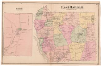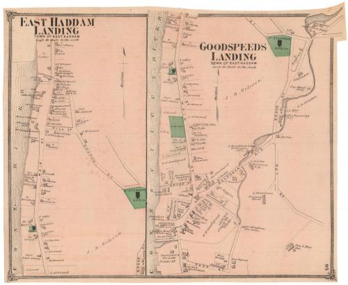
East Haddam Landing
PublisherPublished by
F. W. Beers & Co.
(American)
Date1874
MediumLithography; black printer's ink and watercolor on wove paper
DimensionsPrimary Dimensions (image height x width): 11 5/8 x 14 1/2in. (29.5 x 36.8cm)
Sheet (height x width): 11 7/8 x 14 3/4in. (30.2 x 37.5cm)
Sheet (height x width): 11 7/8 x 14 3/4in. (30.2 x 37.5cm)
ClassificationsGraphics
Credit LineMuseum purchase
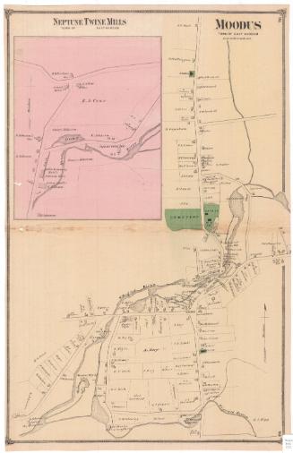
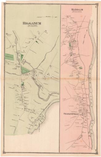
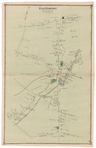
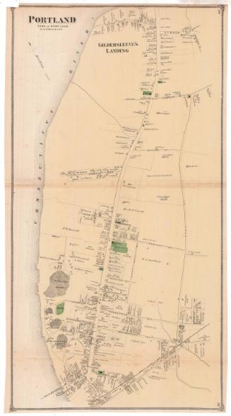
DescriptionSide-by-side maps of East Haddam Landing and Goodspeeds Landing, both in the town of East Haddam, Connecticut. The map of East Haddam Landing shows Main Street, running parallel to the Connecticut River. Lots of land are depicted along with the owner or occupant's name and shaded rectangles representing buildings. Goodspeeds Landing is located south of East Haddam Landing, and the map shows Main Street, Boardman Avenue, Brook Street and Ray Street. Lots of land are depicted along with the owner or occupant's name and shaded rectangles representing buildings.
Object number1980.100.2
NotesCartographic Note: Scale: 1 inch equals 20 rodsOn View
Not on view