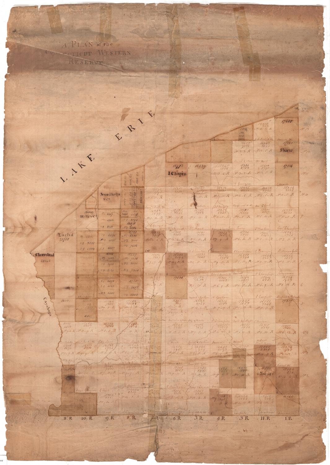
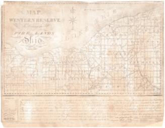
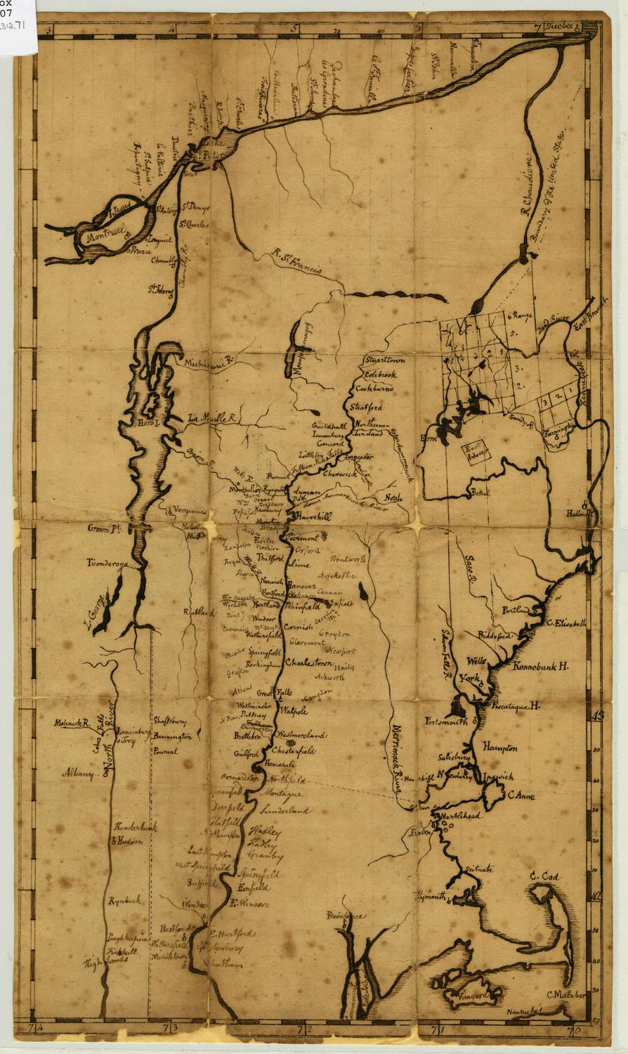
A Plan of the Connecticut Western Reserve
MakerMade by
Unknown
SurveyorPossibly surveyed by
Seth Pease
(American, 1774 - 1819)
DraftsmanPossibly drawn by
Seth Pease
(American, 1774 - 1819)
Dateabout 1796
MediumDrawing; black ink and watercolor on laid paper
DimensionsPrimary Dimensions (image height x width): 20 x 17 7/8in. (50.8 x 45.4cm)
Sheet (height x width): 29 7/8 x 21 1/2in. (75.9 x 54.6cm)
Sheet (height x width): 29 7/8 x 21 1/2in. (75.9 x 54.6cm)
ClassificationsGraphics
Credit LineConnecticut Museum of Culture and History collection
DescriptionManuscript map of the Connecticut Western Reserve in present-day Ohio, from Lake Erie to the north and the Cuyahoga River to the west. The land is divided into fourteen rows and eleven columns, both called "ranges," and the resulting squares, probably townships, contain numbers that probably refer to land measurements, as well as the owner's name, if known. Some of the squares are further divided into lots. Various unnamed rivers appear on the map, as well as broken solid and dotted lines that might represent paths or roads.
Object number2006.114.0
NotesCartographic Note: No scaleOn View
Not on view

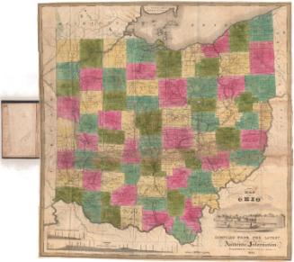
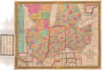
Samuel Augustus Mitchell
1835