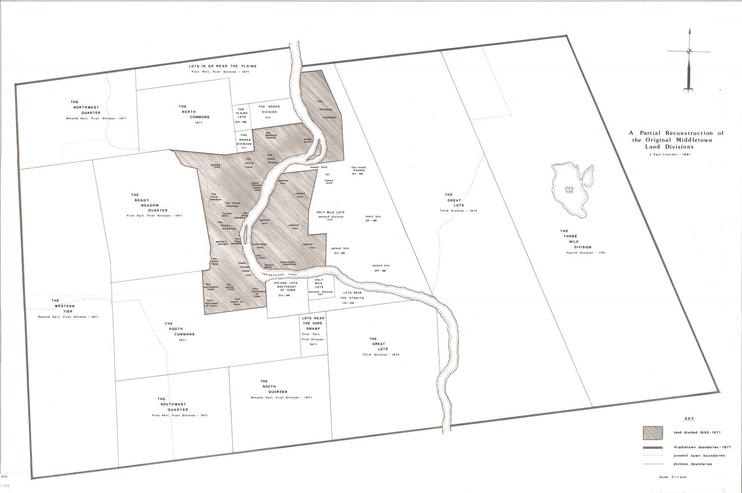
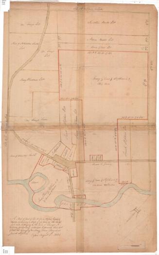
A Partial Reconstruction of the Original Middletown Land Divisions
DraftsmanDrawn by
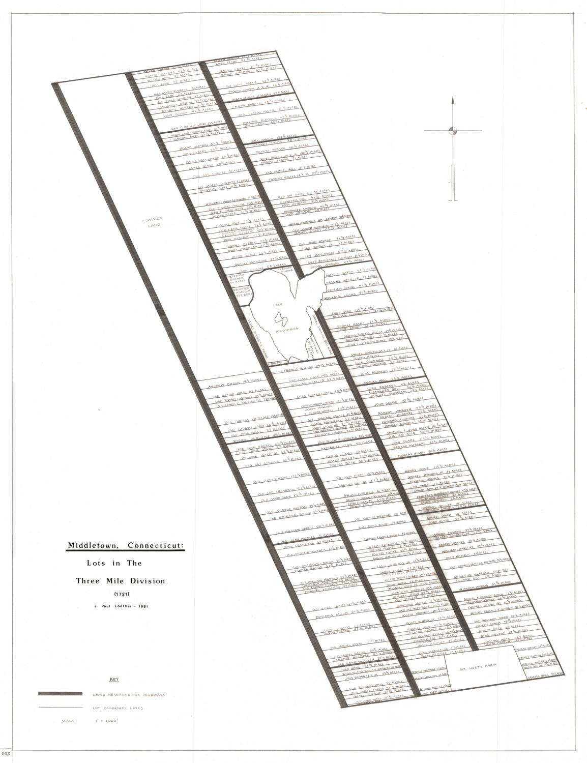
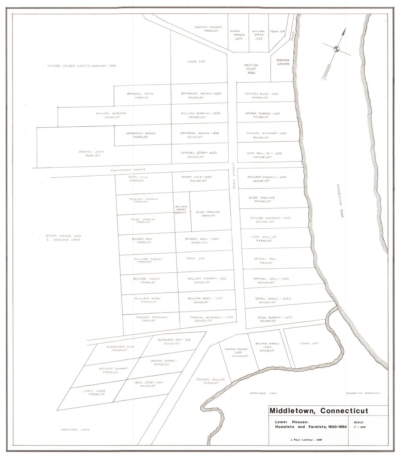
J. Paul Loether
(American, born 1953)
Date1981
MediumDrawing; pencil and dry transfer letters on paper
DimensionsPrimary Dimensions (image height x width): 23 1/8 x 34 1/2in. (58.7 x 87.6cm)
Sheet (height x width): 23 3/4 x 35 1/4in. (60.3 x 89.5cm)
ClassificationsGraphics
Credit LineGift of J. Paul Loether
Object number1986.299.3
DescriptionMap of the original territory of Middletown, Connecticut, from the northwest quarter and lots in or near the plans to the north, the Three Mile Division to the east, the southwest and south quarters to the south, and the western tier to the west. The Connecticut River runs through the center. The various divisions are labeled with names and dates, and the division in the center contains the names of further subdivisions. It is also shaded in, which, according to the Key located in the bottom right corner, means that the land was divided between 1650-1671. As well as detailing the old boundary lines of Middletown in 1671 and the division boundaries, the map shows the present town lines.
Label TextMiddletown, Connecticut was settled in the 1650s by settlers from Hartford and Wethersfield. It was first incorporated under the name of Mattabeseck in 1851; two years later the name was changed to Middletown, in view of its position halfway between Hartford and Saybrook. At that date Middletown encompassed a vast area, including what would eventually become Portland and East Hampton east of the Connecticut River, and and the future towns of Berlin, Cromwell, Middlefield--and, of course, Middletown itself--on the west side of the river. This map shows the entire expanse of the original town, with its quaintly named divisions. Some names, such as Wangunk Meadows, remain in use today. Others, such as Boggy Meadow, the Dead Swamp, Goose's Delight, and Pistol Point, are long forgotten.
NotesCartographic Note: Scale: 1 inch equals 1/2 mileStatus
Not on view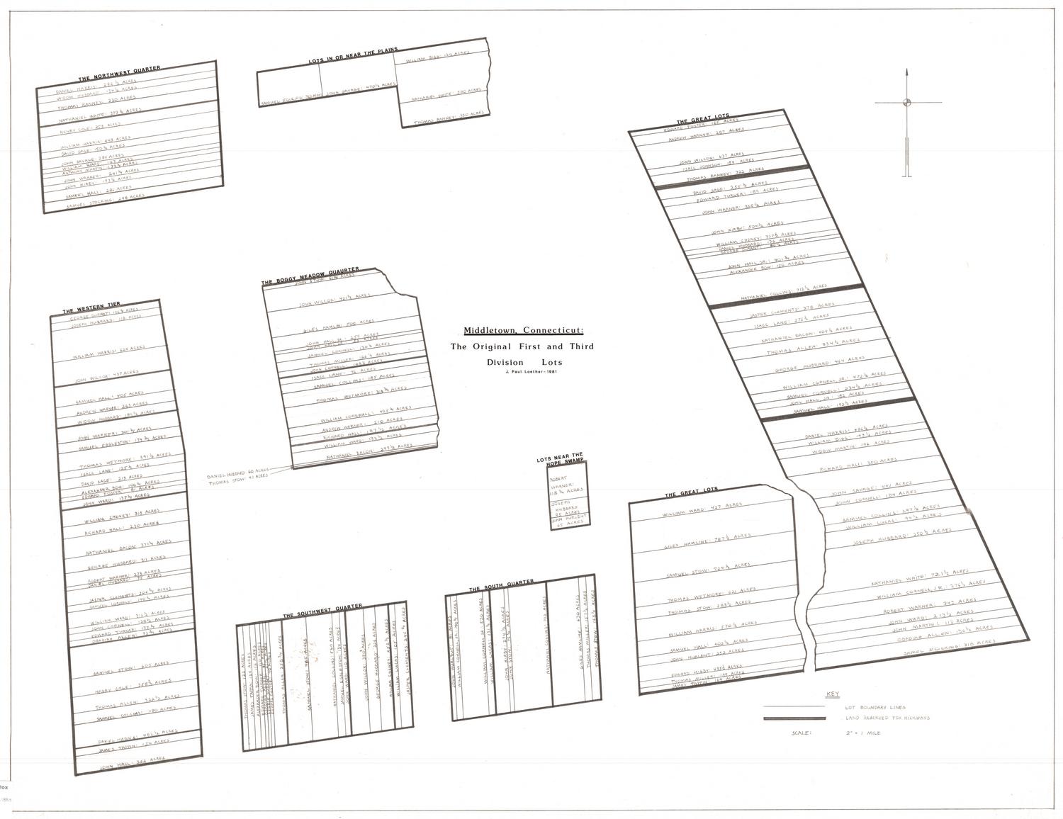
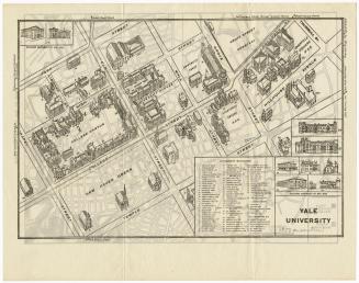
Kellogg & Bulkeley
1915-1920
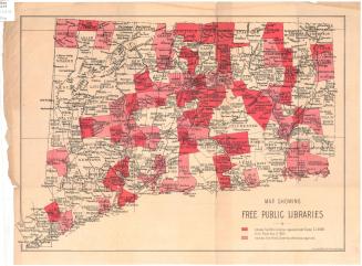
Kellogg & Bulkeley
1910-1915