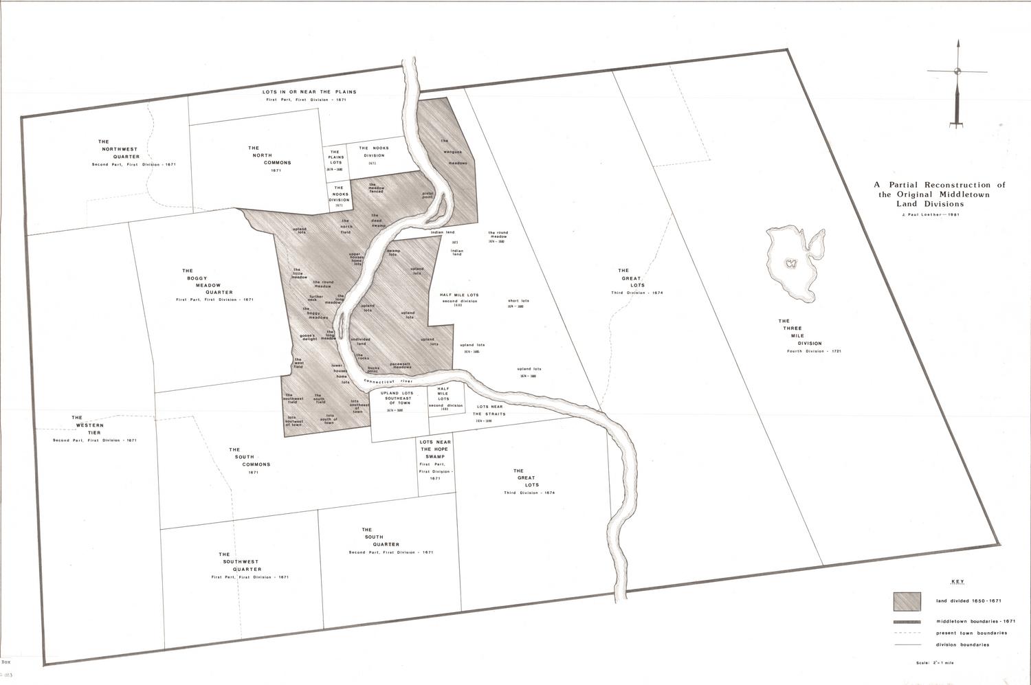
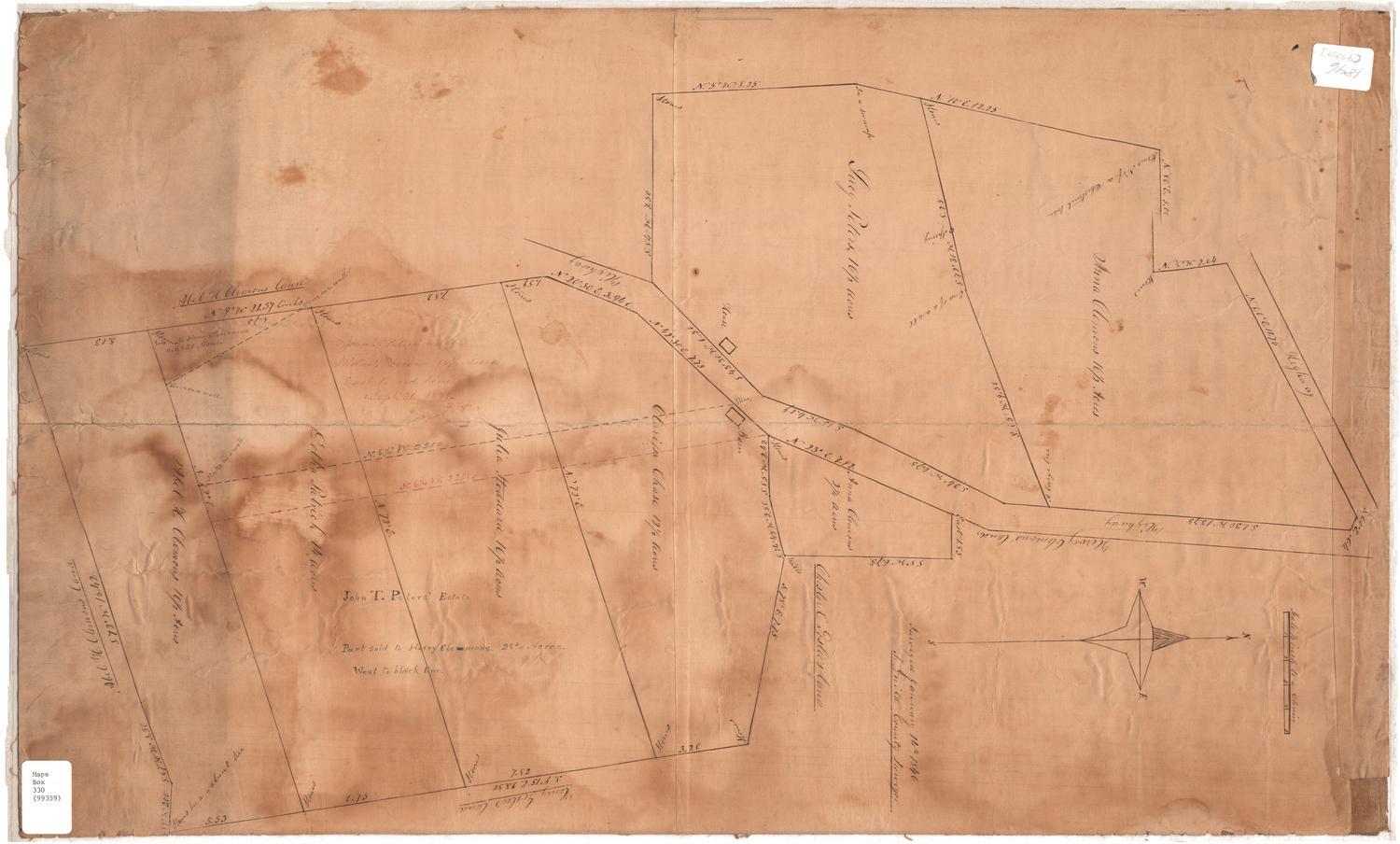
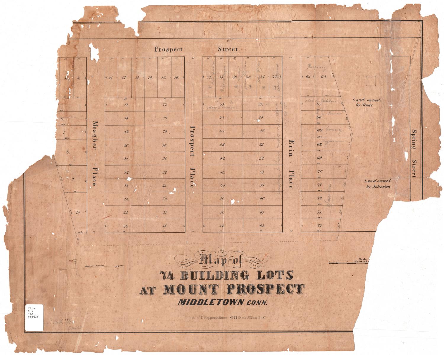
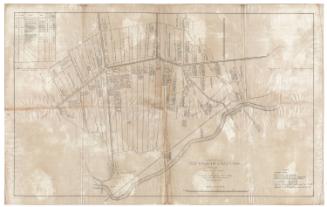
Middletown, Connecticut: Lots in the Three Mile Division, 1721
DraftsmanDrawn by
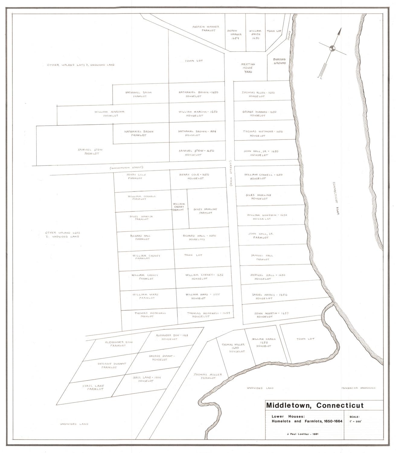
J. Paul Loether
(American, born 1953)
Date1981
MediumDrawing; pencil and dry transfer on paper
DimensionsPrimary Dimensions (image height x width): 25 5/8 x 19 3/4in. (65.1 x 50.2cm)
Sheet (height x width): 27 7/8 x 21 5/8in. (70.8 x 54.9cm)
Sheet (height x width): 27 7/8 x 21 5/8in. (70.8 x 54.9cm)
ClassificationsGraphics
Credit LineGift of J. Paul Loether
DescriptionMap of part of what was Middletown, Connecticut, in 1721, showing lots of land on along local highways, with Lake Pocotapaug in the middle, and Mr. Hart's farm at the bottom bridging both sides of the highway. Each lot is labeled with the property owner's name and size in acres. At the bottom left is the key.
Object number1986.299.2
NotesCartographic Note: Scale: 1 inch equals 2000 feetOn View
Not on view