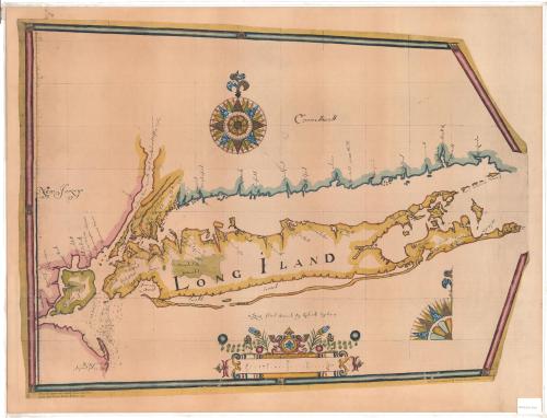
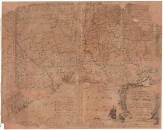
Long Iland Sirvaide
PrinterPrinted by
Meriden Gravure Company
(American, 1888 - 1977)
After a work byAfter a work by
Robert Ryder
(English, active 1674 - 1679)
Date1949
MediumCollotype; ink on paper
DimensionsPrimary Dimensions (image height x width): 23 5/8 x 31 1/2in. (60 x 80cm)
Sheet (height x width): 25 1/4 x 33 1/8in. (64.1 x 84.1cm)
Sheet (height x width): 25 1/4 x 33 1/8in. (64.1 x 84.1cm)
ClassificationsGraphics
Credit LineConnecticut Museum of Culture and History collection
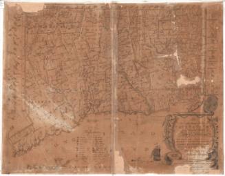
DescriptionReproduction of a seventeenth-century map of Long Island Sound, with the shoreline of Connecticut to the north, the end of Long Island to the west, the Atlantic Ocean to the south, and parts of New York and New Jersey to the west. Around Staten Island, water depth is given. Settlements, mostly along the coast and on Long Island, are labeled and marked with little sketches of houses. The other names mark islands and other natural features. The map is decorated with a 32-point compass and north arrow at the top, a quarter-compass in the lower right, and a flower-adorned scale marker.
Object number2012.312.200
NotesCartographic Note: Scale: 5 inches equals 20 miles
Subject Note: Robert Ryder's Long Island Sirveide is the first map of Long Island Sound made by an Englishman after the English took over New Amsterdam from the Dutch in 1667.On View
Not on view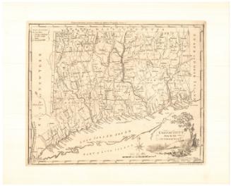

H. F. Sumner & Co.
1833


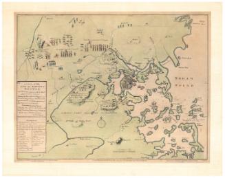
Joel Knott Allen
1791 or 1792