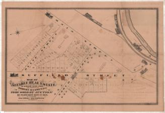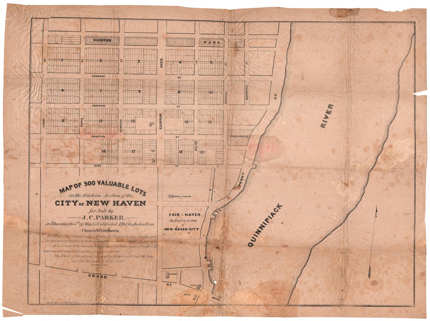
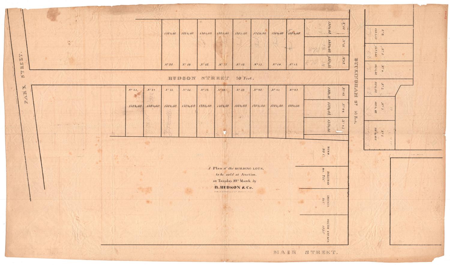
Map of 500 Valuable Lots in the Eastern Section of the City of New Haven
PrinterPrinted by
Miller & Co.
(American, 1834 - 1869)
Date1836
MediumLithography; black printer's ink on wove paper
DimensionsPrimary Dimensions (image height x width): 22 1/2 x 30 1/8in. (57.2 x 76.5cm)
Sheet (height x width): 24 3/8 x 33in. (61.9 x 83.8cm)
Sheet (height x width): 24 3/8 x 33in. (61.9 x 83.8cm)
ClassificationsGraphics
Credit LineConnecticut Museum of Culture and History collection
DescriptionMap of New Haven, Connecticut, extending from Clinton Park to the north, the Quinnipiac River to the east, Grand Street to the south, and Ferry Street to the west. Within those boundaries, there are nineteen blocks of lots totalling five hundred. The lots are numbered within each block, and some of them contain footprints of buildings.
Object number2012.312.191
NotesCartographic Note: No scaleOn View
Not on view

D. W. Kellogg & Co.
1830-1840