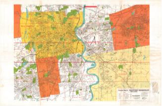
Lord's Indexed Map of Greater Hartford, Connecticut
PublisherPublished by
Harry D. Lord & Son
(American)
Date1961
MediumLithography; colored printer's ink on wove paper
DimensionsPrimary Dimensions (image height x width): 53 1/4 x 41 1/2in. (135.3 x 105.4cm)
Sheet (height x width): 59 1/4 x 42 1/2in. (150.5 x 108cm)
Sheet (height x width): 59 1/4 x 42 1/2in. (150.5 x 108cm)
ClassificationsGraphics
Credit LineConnecticut Museum of Culture and History collection
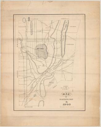
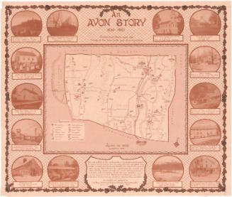
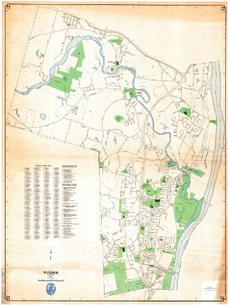
DescriptionStreet map, on an alphanumeric grid, of greater Hartford, Connecticut, extending from Windsor Locks to the North, to Manchester to the east, to Berlin and Rocky Hill to the south, to Farmington and Simsbury to the west. Bodies of water are denoted in blue; town boundaries in red; and parks, cemeteries and other public spaces in pink. The map legend, at the center bottom, provides information about how railroads, town boundaries and street numbers are depicted. Seven insets provide more detailed maps of parts of Simsbury, Windsor Locks, Berlin, Avon, Farmington, Manchester and Glastonbury.
Object number2012.312.173
NotesCartographic Note: Scale: 2 1/4 inches to the mile. The Simsbury, Berlin, Manchester and Glastonbury insets are at half-scale.On View
Not on view