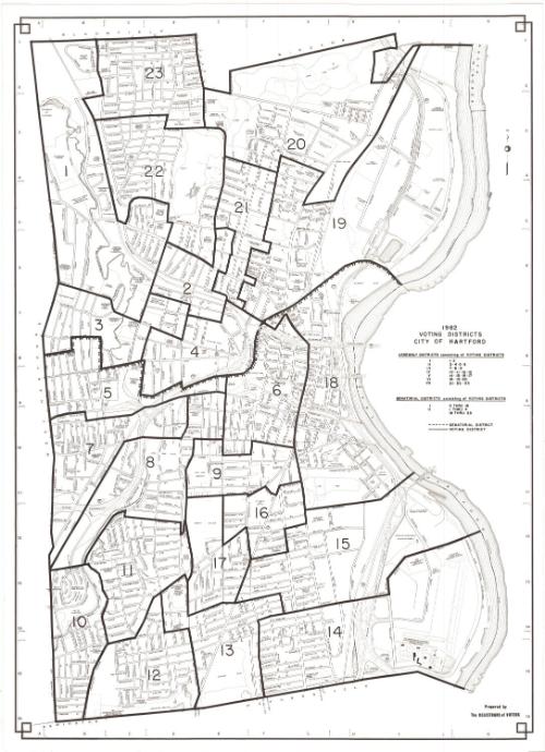
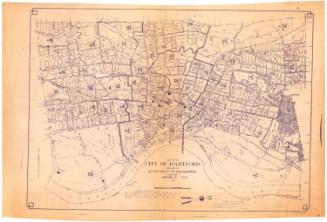
Voting Districts, City of Hartford
PublisherPublished by the
Registrars of Voters (Hartford, Conn.)
(American)
Date1982
MediumLithography; black printer's ink on wove paper
DimensionsPrimary Dimensions (image height x width): 32 x 23in. (81.3 x 58.4cm)
Sheet (height x width): 33 x 24in. (83.8 x 61cm)
Sheet (height x width): 33 x 24in. (83.8 x 61cm)
ClassificationsGraphics
Credit LineConnecticut Museum of Culture and History collection
DescriptionStreet map of Hartford, Connecticut, from the town lines of Bloomfield and Windsor to the north, the Connecticut River to the east, the town lines of Newington and Wethersfield to the south, and the town line of West Hartford to the west. The city is divided into 23 voting districts and two senatorial districts.
Object number2012.312.166
NotesCartographic Note: No scaleOn View
Not on view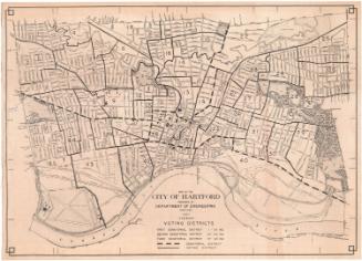

Kellogg & Bulkeley
1910-1915
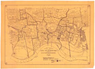
Kellogg & Bulkeley
1915-1920

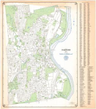


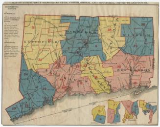
League of Women Voters of Connecticut