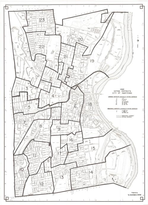
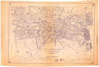
Voting Districts, City of Hartford
PublisherPublished by the
Registrars of Voters (Hartford, Conn.)
(American)
Date1982
MediumLithography; black printer's ink on wove paper
DimensionsPrimary Dimensions (image height x width): 32 x 23in. (81.3 x 58.4cm)
Sheet (height x width): 33 x 24in. (83.8 x 61cm)
ClassificationsGraphics
Credit LineConnecticut Museum of Culture and History collection
Object number2012.312.166
DescriptionStreet map of Hartford, Connecticut, from the town lines of Bloomfield and Windsor to the north, the Connecticut River to the east, the town lines of Newington and Wethersfield to the south, and the town line of West Hartford to the west. The city is divided into 23 voting districts and two senatorial districts.
Label Text"Voting District" was a term adopted in the 1980s as the Federal Government began planning for the 1990 Census. It was meant to be a generic term, replacing earlier terms such as polling district, election district, precinct, and ward. Some of these earlier names appear on earlier Connecticut maps. The term was already in wide use in Connecticut, when this map of Hartford's voting districts was issued. In 1982, the number of voting districts in Hartford was reduced from thirty-two to twenty-three, creating great confusion during the fall election, with "hundreds of confused Hartford voters" roaming the streets from one polling place to another because they were unsure where to vote. This map shows the boundaries of the new districts, but not the locations of the polling places.
NotesCartographic Note: No scaleStatus
Not on view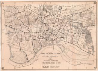

Kellogg & Bulkeley
1910-1915
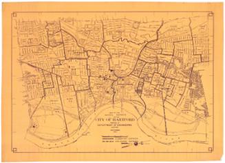
Kellogg & Bulkeley
1915-1920


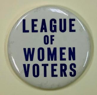
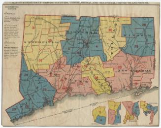
League of Women Voters of Connecticut