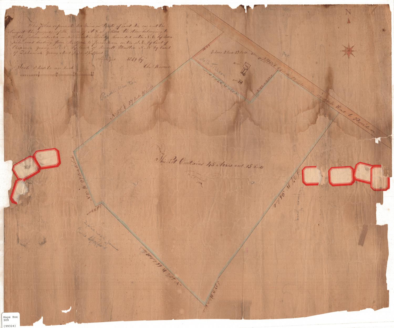
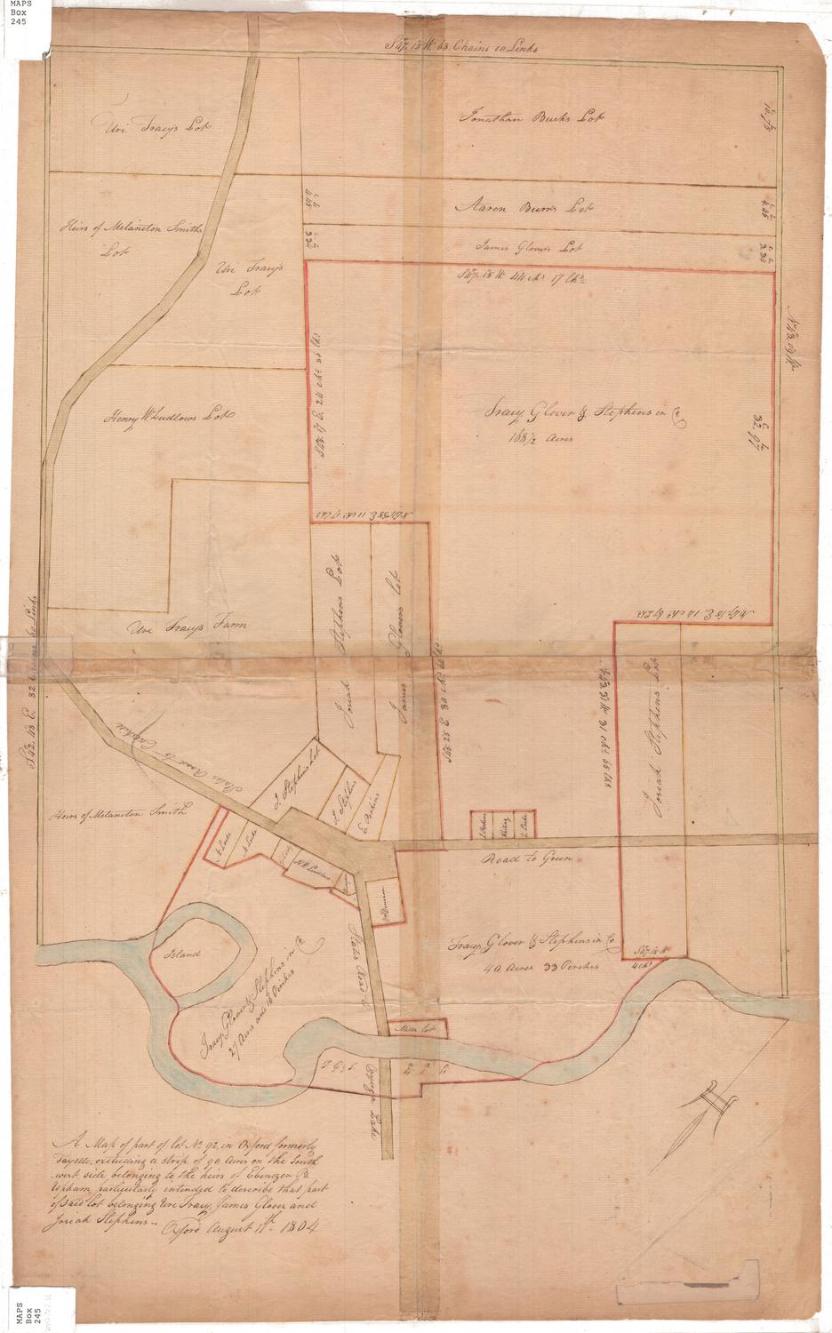
Land in Oxford and Derby, Lately Bought by Mr. Stoddard Chatfield, & surveyed at his request
SurveyorSurveyed by
Noyes Darling
(American, 1782 - 1846)
Date1824
MediumDrawing; ink on wove paper
DimensionsPrimary Dimensions (image height x width): 15 1/8 x 12 1/8in. (38.4 x 30.8cm)
Sheet (height x width): 15 1/8 x 12 1/8in. (38.4 x 30.8cm)
Sheet (height x width): 15 1/8 x 12 1/8in. (38.4 x 30.8cm)
ClassificationsGraphics
Credit LineMuseum purchase
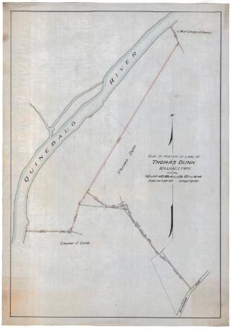
DescriptionPlot of land and dimensions, including bearings and, presumably, length measurements. To the north is the Naugatuck River, to the east is the Naugatuck River and Moses Little's land, to the south is Baldwin's Creek, and to the east is Abiram Stoddard's land and Judge Humphrey's land. Sevearl trees are included as reference points: the "small white oak," located in the bottom left corner of the plot, the "large oak," in the bottom right corner, the "white oak stump" in the top left corner, and the "bounds by chestnut tree" at the top left. Several old boundary lines are marked, as well.
Object number1975.102.1
NotesCartographical Note: Scale: 1 inch equals 10 rods
Biographical Note: Stoddard Chatfield was born on November 19, 1793 and died on March 16, 1877. He married Abigail Tuttle on February 2, 1826. When young, he thought that he wanted to go to sea, but after one voyage to the West Indies, he changed his mind and decided to remain at home. He ran his father's lumber mill and owned and worked five farms in New Haven County. He is listed in the 1850 and 1860 Federal Census as living in Bethany, Connecticut, and in the 1870 Census as living in Woodbridge.On View
Not on view
Erastus Worthington
1907