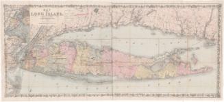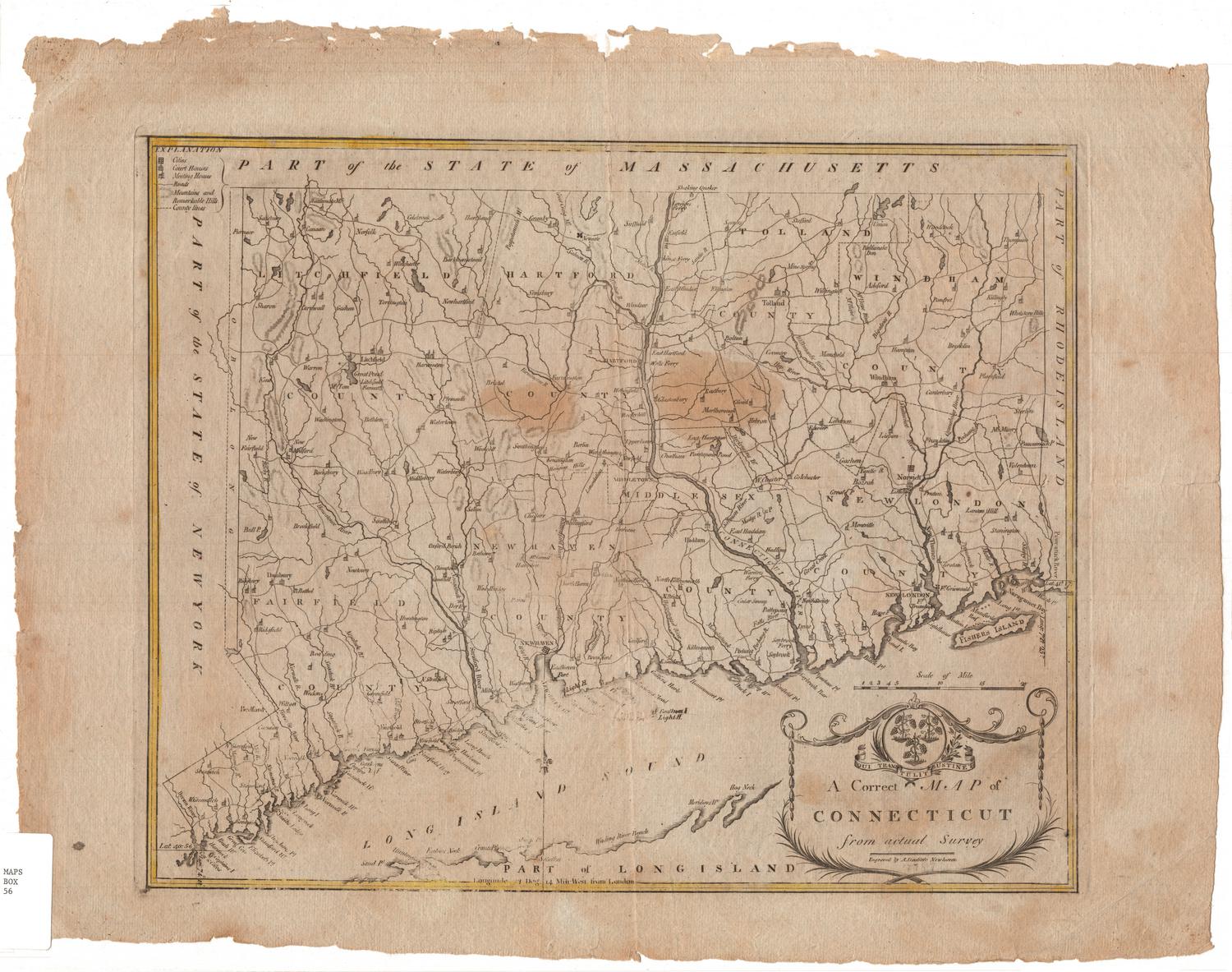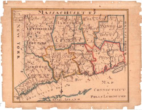
A Map of Connecticut
DraftsmanDrawn by
Polly Ludington
(American, born 1799)
Dateabout 1813
MediumDrawing; black ink and watercolor on wove paper
DimensionsPrimary Dimensions (image height x width): 13 x 16in. (33 x 40.6cm)
Sheet (height x width): 15 x 19 3/8in. (38.1 x 49.2cm)
Mount (height x width): 15 x 19 3/8in. (38.1 x 49.2cm)
Sheet (height x width): 15 x 19 3/8in. (38.1 x 49.2cm)
Mount (height x width): 15 x 19 3/8in. (38.1 x 49.2cm)
ClassificationsGraphics
Credit LineGift of Mrs. George Potter
DescriptionA map of the state of Connecticut, divided into eight counties, with the border of Massachusetts to the north, Rhode Island to the east, the Long Island Sound to the south, and New York to the west. The legend in the top left provides explanations for the depictions of cities, court houses, meeting houses, roads, mountains and "remarkable hills," and county lines. Towns, cities, rivers, and islands are labeled. Meeting houses and court houses are represented by small building symbols. Elevation is conveyed with hachure marks.
Object number1954.33.0
NotesCartographic Note: No scale
On View
Not on view