
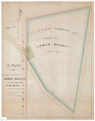
Land on Which the School House Stands
SurveyorPossibly surveyed by
Nathaniel Goodwin
(American, 1782 - 1855)
Dateafter 1807
MediumDrawing; black ink and pencil on paper, backed with linen
DimensionsPrimary Dimensions (image height x width): 19 1/4 x 13in. (48.9 x 33cm)
Sheet (height x width): 26 1/8 x 19 1/8in. (66.4 x 48.6cm)
Mount (height x width): 26 1/8 x 19in. (66.4 x 48.3cm)
ClassificationsGraphics
Credit LineGift of Mrs. Flavel S. Luther
Object number1915.6.1
DescriptionManuscript map of the land where a schoolhouse stood in Hartford, Connecticut, including the property lines and measurements of the building, gangway and passway. The text around the map describes the history of the ownership of the schoolhouse land and the land around it.
Label TextNineteenth-century surveyors not only surveyed property and drew maps; they also searched city records and documented previous ownership. This map not only shows the site of an early nineteenth school house, it also documents ownership of the property going back more than fifty years. The school house in question is probably the Hartford Grammar School, which was located on Arch Street between Main Street and Prospect Street.
NotesCartographic Note: No scaleConstituent Note: The map is unsigned, but the handwriting resembles that on other maps by Nathaniel Goodwin in the Connecticut Historical Society collection.
Status
Not on view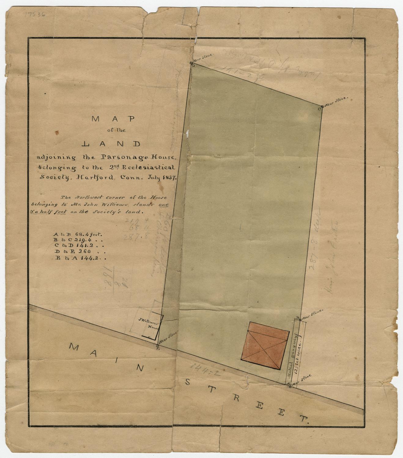
William C. Stanton
1848
Erastus Worthington
1907