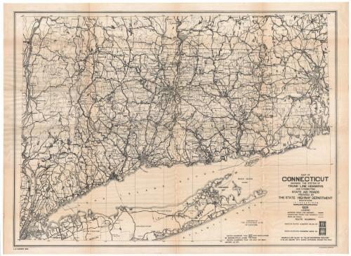
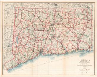
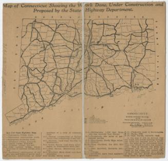
Map of Connecticut Showing the System of Trunk Line Highways and Connecting State Aid Roads
MakerMade by
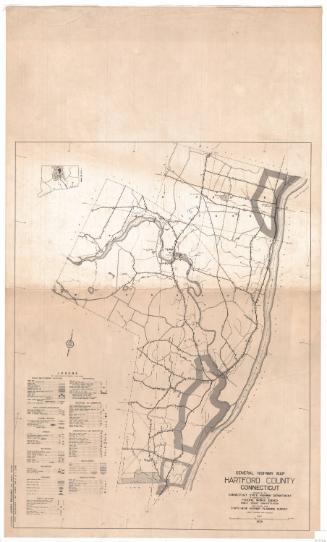
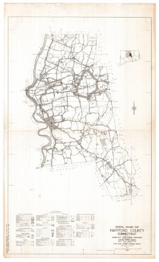
Connecticut State Highway Department
(American, 1895 - 1969)
PrintmakerLithographed by
Kellogg & Bulkeley
(American, 1867 - 1990)
MakerMade by
Leslie G. Sumner
(American, 1891 - 1969)
Date1925
MediumLithography; black ink on wove paper
DimensionsPrimary Dimensions (image height x width): 26 1/4 x 35 3/4in. (66.7 x 90.8cm)
Sheet (height x width): 28 x 38in. (71.1 x 96.5cm)
Sheet (height x width): 28 x 38in. (71.1 x 96.5cm)
ClassificationsGraphics
Credit LineConnecticut Museum of Culture and History collection
DescriptionMap of Connecticut, from Massachusetts to the north, Rhode Island to the east, the Long Island Sound to the south, and New York to the west. It shows the "trunk line" system of highways, both improved and unimproved, numbered on the map. Also shown are state aid roads.
Object number2012.312.116
NotesCartographic Note: Scale: 1/4 inch equals 1 mileOn View
Not on view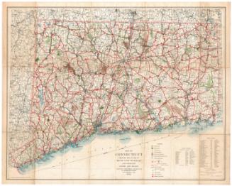
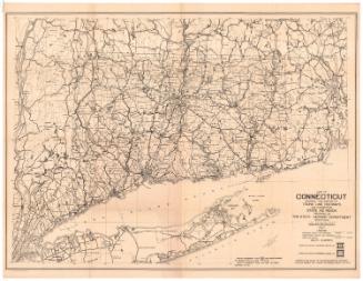
Connecticut State Highway Department
1934
Connecticut State Highway Department
1930
Connecticut State Highway Department
1927
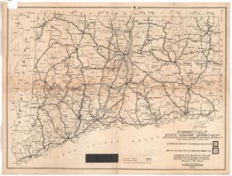
Connecticut State Highway Department
1923
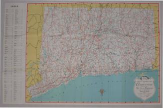
Connecticut State Highway Department
1916